
Time zone CET (UTC+1) Local time Wednesday 4:41 AM | Area 32.87 km² Population 1,536 (1999) | |
 | ||
Intercommunality Fercher - Pays florentais Weather 6°C, Wind NE at 8 km/h, 93% Humidity | ||
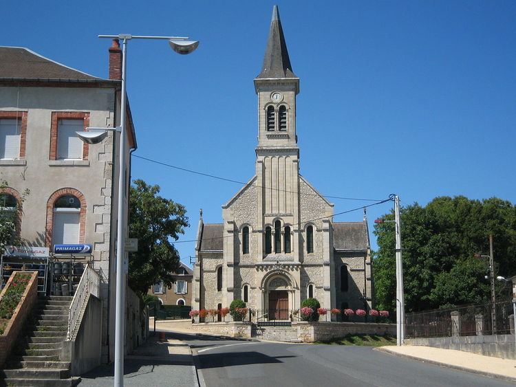
Lunery is a commune in the Cher department in the Centre region of France.
Contents
Map of 18400 Lunery, France
Geography
A forestry and farming area comprising two villages and several hamlets situated in the valley of the river Cher, some 12 miles (19 km) southwest of Bourges, at the junction of the D103, D88, D35 and the D27 roads. The commune is served by a TER railway link to Bourges.
Sights
References
Lunery Wikipedia(Text) CC BY-SA