
OS grid reference NS765725 Sovereign state United Kingdom Postcode district G67 Local time Tuesday 7:21 PM | Post town GLASGOW Dialling code 01236 | |
 | ||
Weather 7°C, Wind W at 27 km/h, 78% Humidity Scottish parliaments Cumbernauld and Kilsyth, Central Scotland | ||
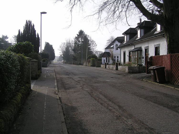
Luggiebank [1] is a small village to the south of Cumbernauld and is now essentially a suburb of the town. It is situated on what used to be the Stirling Road from Lanark, but as a result of a by pass (B8039) the old road is now a cul de sac. Unlike the rest of Cumbernauld, which was in Dunbartonshire, Luggiebank was historically in Lanarkshire, but was adopted into Dunbartonshire in 1967, prior to Cumbernauld becoming a police burgh the following year. Following further boundary changes in 1995, Luggiebank became part of North Lanarkshire.
Contents
Map of Luggiebank, Cumbernauld, Glasgow, UK
The village consists of around 30 houses and is essentially built around two streets, the older part of Stirling Road and newer houses on Blairlinn View. Other farms and houses in the surrounding area are deemed to be in Luggiebank. On the south bound side of Stirling Road the houses back onto Luggie Water. The associated glen is now a nature reserve managed by the Scottish Wildlife Trust. The name comes from a cottage of that name which appears on the first Edition of the Ordnance Survey.
The name Luggie is a Scots word meaning a wooden bucket with handles. An extract from the Ordnance Gazetteer of Scotland 1882 describes The Luggie in less than glowing terms. However, there is also a poem written by David Gray (poet) (1838–61) The Dear Old Toiling One, in which he fondly mentions the Luggie and apparently another poem of the same ilk [2] called 'The Luggie' or possibly 'Luggie-side'.
History
The Village has some history and houses are displayed on the north bound side of Stirling Road in the 1864 Ordnance Survey map [3]. People even used to go on holiday in the village and there is a postcard looking south, showing the village possibly from the 1930s. The Luggie Bridge, just to the north of the village, is a fine stone arch [4] and it now forms part of the footway north out of the village.