Kalpana Kalpana (Editor)

Lugano Prealps

Updated on
Edit
Like
Comment
Share on FacebookTweet on TwitterShare on LinkedInShare on Reddit
Peak
  
Pizzo di Gino

Native name
  
Prealpi Luganesi

Canton, Region
  
Ticino and Lombardy

Type of rock
  
Sedimentary rock

Elevation
  
2,245 m (7,365 ft)

Countries
  
Switzerland and Italy

Highest point
  
Pizzo di Gino

Parent range
  
Alps

Lugano Prealps

Borders on
  
Bergamasque Alps and Prealps, Lepontine Alps, Western Rhaetian Alps and Po plain

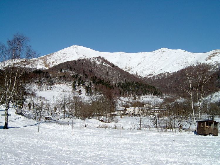
Mountains
  
Monte Generoso, Monte Tamaro, Monte San Salvatore, Camoghè, Pizzo di Gino

The Lugano Prealps (Prealpi Luganesi or Prealpi Lombarde Occidentali in Italian) are a mountain range in the western part of the Alps. They are located in Canton Ticino (southern Switzerland) and in Lombardy (northern Italy).

Contents

Geography

Administratively the Italian part of the range belongs to the provinces of Como and Varese, while the Swiss one is divided between the districts of Bellinzona, Locarno, Lugano and Mendrisio.

The western slopes of the mountains are drained by the Ticino River, the eastern ones by Adda and the southern-central part of them by Lambro, Olona and other minor rivers and streams, all of them directly or indirectly tributaries of the Po .

SOIUSA classification

According to SOIUSA (International Standardized Mountain Subdivision of the Alps) the mountain range is an Alpine section, classified in the following way:

  • main part = Western Alps
  • major sector = North Western Alps
  • section = Lugano Prealps
  • code = I/B-11
  • Borders

    Lugano Prealps' borders are (clockwise):

  • Lago Maggiore (west),
  • Ticino River from Locarno to Bellinzona, San Jorio Pass (2.010 m, which connects them with the Lepontine Alps) and San Jorio valley till to Gravedona (north);
  • Como lake (east);
  • Po Plain (south).
  • Subdivision

    The Lugano Prealps are divided into two subsections:

  • Como Prealps - SOIUSA code:I/B-11.I
  • Varese Prealps - SOIUSA code:I/B-11.II,
  • which are separated by the Monte Ceneri Pass.

    These subsections are further divided in supergroups:

  • Como Prealps:
  • supergroup catena Gino-Camoghè-Fiorina - SOIUSA code:I/B-11.I-A
  • supergroup catena Tremezzo-Generoso-Gordona - SOIUSA code:I/B-11.I-B
  • supergroup catena del Triangolo Lariano - SOIUSA code:I/B-11.I-B
  • Varese Prealps:
  • supergroup catena Tamaro-Gambarogno-Lema - SOIUSA code:I/B-11.II-A,
  • supergroup catena Piambello-Campo dei Fiori-Nudo - SOIUSA code:I/B-11.II-B.
  • Summits

    The chief summits of the range are:

    Maps

  • Italian official cartography (Istituto Geografico Militare - IGM); on-line version: www.pcn.minambiente.it
  • Swiss official cartography (Swiss Federal Office of Topography - Swisstopo); on-line version: map.geo.admin.ch
  • References

    Lugano Prealps Wikipedia