
Area 18.77 km² | Elevation 771 m | |
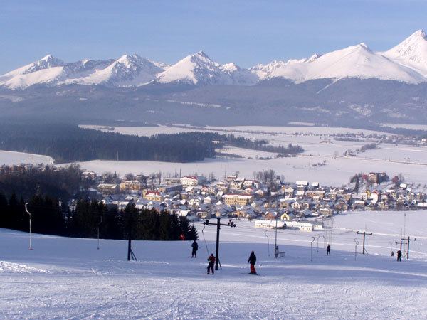 | ||
Lučivná is a village and municipality in Poprad District in the Prešov Region of northern Slovakia. It lies on the foothills oh High Tatras. It is a small spa village.
Contents
Map of 059 31 Lu%C4%8Divn%C3%A1, Slovakia
Geography
The municipality lies at an elevation of 767 metres (2,516 ft) and covers an area of 18.766 km² (7.246 mi²). It has a population of about 975 people.
History
In historical records the village was first mentioned in 1321.
Infrastructure and economy
Part of the village municipality is Lopušná dolina with a lot of recreational and sporting facilities. In the village are classical evangelical and Roman Catholic churches and a manor house.
References
Lučivná Wikipedia(Text) CC BY-SA