Location Nashik Impounds Tapi river Height 22 m | Type of dam Earthfill Length 860 m (2,820 ft) Surface area 3,150 km² | |
 | ||
Official name Lower Tapi (Padalse) Dam D03032 Dam volume 303.72 km (72.87 cu mi) Similar Hivra Dam, Kamleshwar Dam, Yeldari Dam, Radhanagari Dam, Pong Dam | ||
Lower Tapi Dam (or Padalse Dam) is an earthfill dam on Tapti river near Amalner, but in Dhule district in state of Maharashtra in India.
Contents
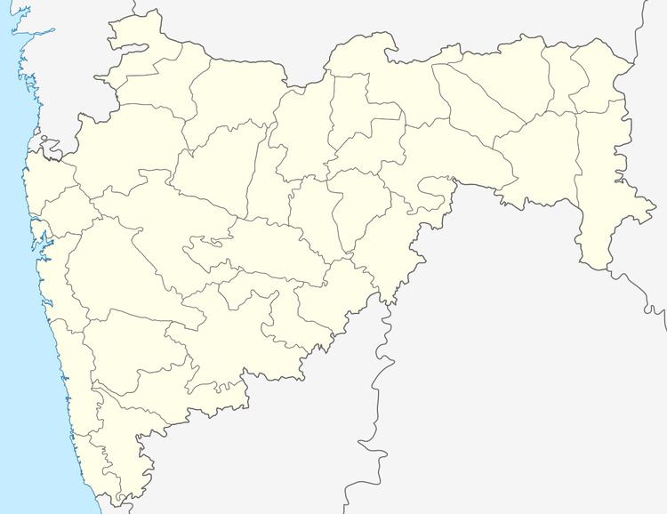
Map of Lower Tapi Dam, Maharashtra 425402
Specifications
The height of the dam above lowest foundation is 21.8 m (72 ft) while the length is 860 m (2,820 ft). The volume content is 303.72 km3 (72.87 cu mi) and gross storage capacity is 16,460.00 km3 (3,948.96 cu mi).
Purpose
References
Lower Tapi Dam Wikipedia(Text) CC BY-SA
