Intercommunality Deux Vallées Area 44.73 km² | Population (2008) 844 Local time Monday 8:32 PM | |
 | ||
Weather 9°C, Wind N at 5 km/h, 67% Humidity | ||
Lourdoueix-Saint-Pierre is a commune in the Creuse department in the Nouvelle-Aquitaine region in central France.
Contents
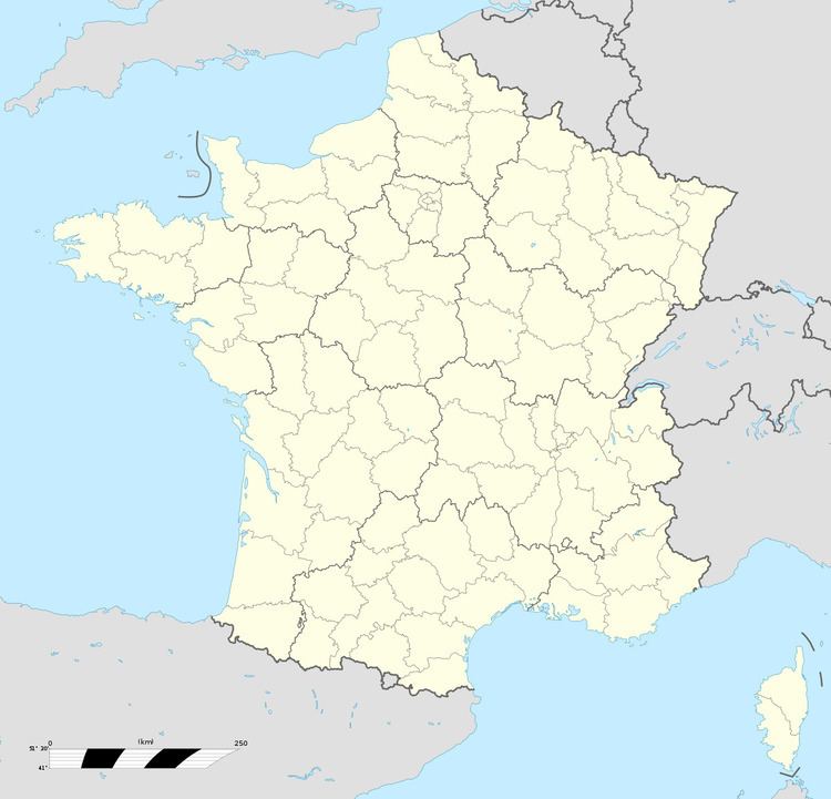
Map of 23360 Lourdoueix-Saint-Pierre, France
Geography
An area of streams, lakes and farming, comprising the village and some small hamlets, situated some 15 miles (24 km) north of Guéret at the junction of the D6, D48 and the D915 roads. The Petite Creuse river forms much of the south-western boundary of the commune’s territory, whilst to the north lies the department of Indre.
Sights
References
Lourdoueix-Saint-Pierre Wikipedia(Text) CC BY-SA
