District Český Krumlov Area 42.01 km² | Elevation 663 m Local time Monday 9:00 PM | |
 | ||
Weather 3°C, Wind W at 3 km/h, 78% Humidity Points of interest Čertova stěna‑Luč, Medvědí hora, Rašeliniště Kapličky, Uhlířský vrch | ||
Loučovice (German: Kienberg) is a village in South Bohemian Region of the Czech Republic. It has around 1,950 inhabitants.
Contents
Map of Lou%C4%8Dovice, Czechia
Geography
Several natural reservations protected by the state extend to the area of the village, among them Vyšebrodsko Natural Park and formation of giant stones Čertova stěna-Luč.
History
First known settlements existed before year 1250. First written mention appears in a document from 1361, when the location was owned by monastery in Vyšší Brod.
Until 1918, the location was part of the Austrian monarchy (Austria side after the compromise of 1867), in the Bohemian district of Kaplice. A post-office was opened in August 1892, under the name KIENBERG bei HOHENFURTH.
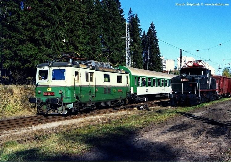
Starting in 1884, entrepreneur Arnošt Porák built a large paper mill here (at its peak it employed around 1,800 workers). Electrified railway built in 1909-11 reached Loučovice . During 1938-45, the area became part of Nazi Germany. After expulsion of German speaking people in 1945, many smaller hamlets in the area disappeared but Loučovice grew up. In 1951 villages Bolechy, Mnichovice and Kapličky were merged into Loučovice and the settlement became standalone administrative unit. During 1960s-80s several large paneláks were built here.
