
Province British Columbia | Country Canada | |
 | ||
Similar China Beach, Sombrio Beach, Botanical Beach, Nitinat River Provincial, Slip Point Light | ||
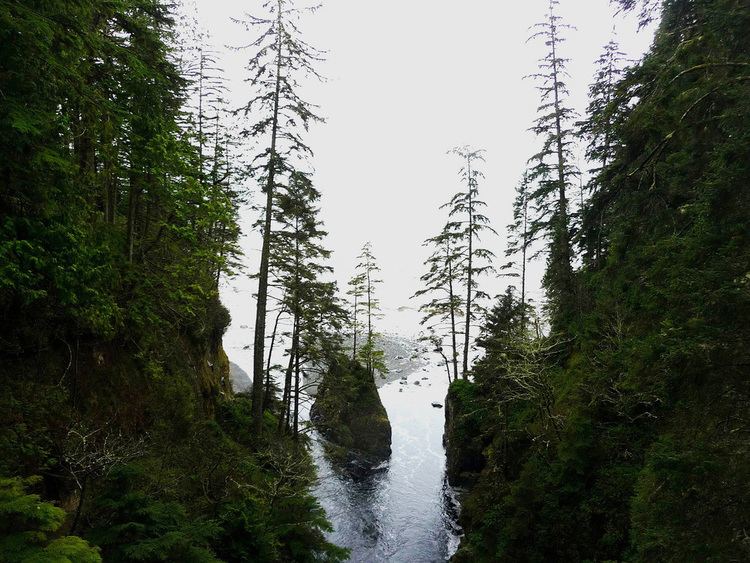
Loss Creek is a river on southern Vancouver Island that flows from a point north of River Jordan, British Columbia due west to Sombrio Beach (southeast of Port Renfrew), mostly following an unusually long, straight, narrow, and steep-sided valley. This valley is the surface trace of the Leech River Fault, a major regional fault that marks the contact between the oceanic basalts of the Crescent Terrane (part of Siletzia) to the south, and the metamorphic rocks of the Pacific Rim Terrane to the north. The Leech River fault is straight because it was originally a strike-slip fault (moving horizontally), but now it is being thrusted under Vancouver Island. As the Pacific Rim rock is uplifted and exposed it rapidly erodes; this releases the occasional gold deposit, which then collects in placer deposits in Loss Creek.
Contents
Map of Loss Creek, British Columbia, Canada
CoordinatesEdit
Loss Creek springs at 48°29′49″N 124°04′09″W, 620m above sea level, flows west for 14 km, then turns south for 2 km and ends at the Pacific Ocean at 48°28′51″N 124°16′24″W. The average slope is 4% over 16 km (620m/16000m=0.03875). Rapids of 12% slope exist near Gain Creek. The steeper the slope the higher the uplift versus erosion. This indicates an anomaly of uplift compared to the rest of the valley.