
Airport type Public Elevation AMSL 17 ft / 5 m 886 2,907 | 10/28 886 Code LDH | |
 | ||
Serves Lord Howe Island, New South Wales, Australia Address Lord Howe Island NSW 2898, Australia Similar Capella Lodge, Pinetrees Lodge, Milky Way Holiday Villas, Beachco Lodge, Broken Banyan | ||
Lord howe island airport landing cessna c182q
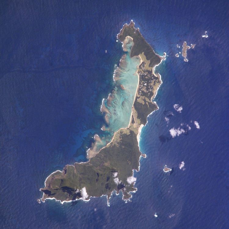
Lord Howe Island Airport (IATA: LDH, ICAO: YLHI) is a regional and international airport providing air transportation to Lord Howe Island. Lord Howe Island is located in the Tasman Sea, 600 km (370 mi) east of mainland Port Macquarie. The airport is operated by the Lord Howe Island Board.
Contents
- Lord howe island airport landing cessna c182q
- Lord howe island airport runway overlay
- Light aircraft transit
- Facilities
- Incidents
- Statistics
- References
Lord howe island airport runway overlay
Light aircraft transit
Lord Howe Island is an important transit and refueling point for light aircraft flying between Australia, Norfolk Island and New Zealand. Located 600 km (373 mi) to the west is the Australian mainland, and 900 km (559 mi) to the east is Norfolk Island Airport which is within range of New Zealand to the southeast and New Caledonia to the north. These distances are within the range of many light aircraft when fitted with long range tanks, while the direct distances are not. From New Caledonia, other Pacific Islands such as Vanuatu and Fiji are within range and can be used as further 'stepping stones' to the other South Pacific and North Pacific destinations.
Facilities
The airport's elevation above mean sea level is 17 ft (5 m) and it has one runway, measuring 886 m × 30 m (2,907 ft × 98 ft).
Incidents
On 20 April 2009 the runway was damaged by heavy rains of 230 mm (9.06 in) in three hours, leaving 100 tourists stranded on the island.
Statistics
Lord Howe Island Airport served 33,385 revenue passengers during financial year 2009-2010, ranking it 64th amongst airports in Australia.