
 | ||
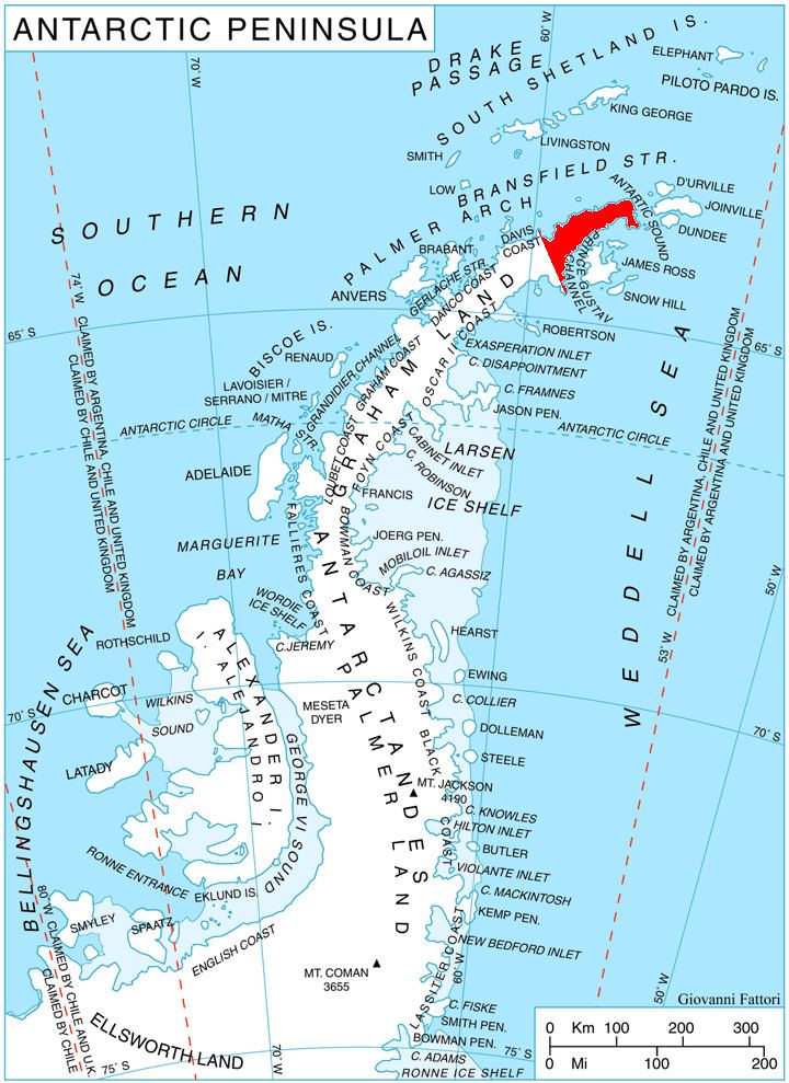
Lopyan Crag (Bulgarian: Лопянски камък, ‘Lopyanski Kamak’ lo-'pyan-ski 'ka-m&k) is the narrow rocky hill extending 1.7 km in NW-SE direction and rising to 583 m in Erul Heights on Trinity Peninsula in Graham Land, Antarctica. It is surmounting Russell East Glacier to the south.
Contents
The hill is named after the settlement of Lopyan in Western Bulgaria.
Location
Lopyan Crag is located at 63°42′11″S 58°23′29″W, which is 1.98 km southeast of Gigen Peak, 2.27 km southwest of Coburg Peak, 4.96 km west by north of Panhard Nunatak, 2.64 km northeast of Siniger Nunatak and 3.63 km east of Roman Knoll. German-British mapping in 1996.
Maps
References
Lopyan Crag Wikipedia(Text) CC BY-SA