Time zone CET (UTC+1) Area code 55 | Area 280 km² | |
 | ||
Weather 3°C, Wind W at 5 km/h, 89% Humidity | ||
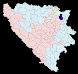
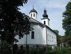
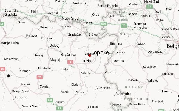
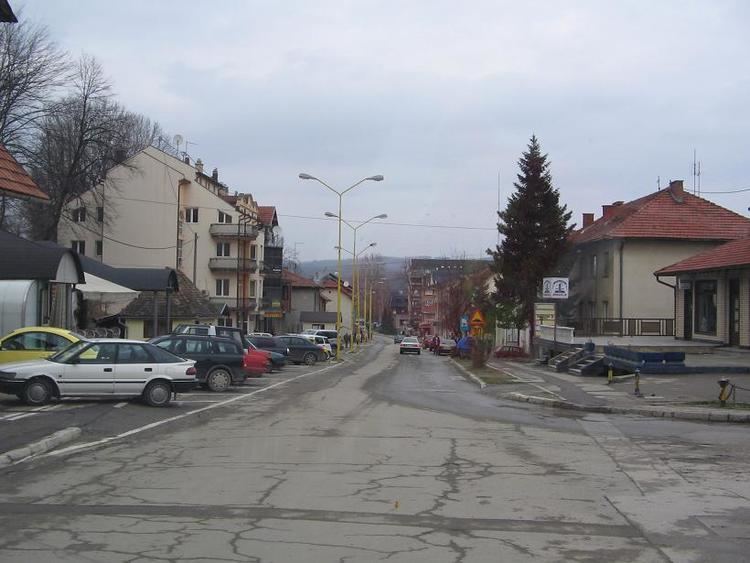
Lopare (Serbian Cyrillic: Лопаре) is a town and municipality in Republika Srpska, Bosnia and Herzegovina. It is situated in the Majevica region.
Contents
- Atv enduro lopare 2014 by polaris bih quadsquad international
- Demographics
- 1971
- 1991
- Notable people
- References
Atv enduro lopare 2014 by polaris bih quadsquad international
Demographics
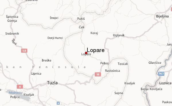
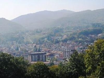
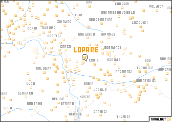
According to the latest population census from 1991, the municipality had 32,537 inhabitants, out of which 18,243 were Serbs, 11,990 were Bosniaks, 1,263 were Croats and 1,041 Others. It is important to emphasize that the municipal territory was reduced by around 30% during the war, as well as that almost one third of the pre-war population now lives in the neighbouring municipality of Celic. During and after the war, significant changes occurred in the demographic structure of the municipality. The RS Institute for Statistics estimated that in 2005 17,101 inhabitants lived in the municipality, which is 47.5% less than the number in 1991. Rights-based community profile Lopare municipality is located in the north-eastern part of Bosnia and Herzegovina and is a part of the entity of the Republika Srpska. During 1992, two municipalities were created out of the pre-war Lopare municipality. These are Lopare municipality in the RS and Celic municipality, which is a part of the Federation of BiH. The present Lopare municipality stretches over the area of 299, bordering municipalities of Ugljevik and Bijeljina in the RS, Teocak, Sapna, Tuzla and Celic in the FBiH, as well as Brcko District. The municipality is located where Mount Majevica transitions into the plains of Semberija and Posavina, and represents the centre of this part of sub-Majevica area. The entire area is characterized by a large number of smaller water flows, while the Gnjica River flows through the town of Lopare. The town of Lopare is located at an average altitude of 235 m above the sea level. Natural resources the municipality disposes witch include agricultural land, forests and stone, while there is also rock salt and coal, to a lesser and unexamined extent. The regional road Tuzla–Brcko and Bijeljina–Tuzla motorway run through the municipality. The length of categorized road network is 204 km2 on the municipal territory, and there are 333 km of uncategorized roads. While the road network is fairly developed, the number of both categorized and uncategorized paved roads is very small.
1971
According to the 1971 census, the population of the Lopare was 33,847.
1991
According to the 1991 census, the population of the Lopare (which then included the territory of today's Čelić municipality, which is in the Federation of BiH) municipality was 32,400, including:
Notable people