
Population 1,266 (1 Jan 2011) Local time Monday 12:04 AM | Major roads A50, N279, N606 | |
 | ||
Weather 6°C, Wind NE at 6 km/h, 69% Humidity | ||
Loosbroek is a village and parish in the southern Netherlands. It is located in the municipality Bernheze, North Brabant. Loosbroek has about 1266 (2011) inhabitants.
Contents
Map of Loosbroek, Netherlands
Before 1994 the territory of Loosbroek was divided between three municipalities, Nistelrode, Heesch and Heeswijk-Dinther.
History
In 1648, after the Protestant Reformation, Loosbroek became part of the States of Brabant with the "Meierij van 's-Hertogenbosch". In 1795 the French invaded the Dutch Republic and "freedom of faith" was restored in Loosbroek. In 1814 Loosbroek became part of the Kingdom of the Netherlands.
On 23 September 1923, two American officers and participants in the Gordon Bennett Cup crashed near Loosbroek when lighting struck their gas balloon. They had departed form Brussels. The gas balloon race was a disaster for three balloons were struck by lightning. Five people died and one person was severely injured.
Until 1898 Loosbroek was part of the parish of Dinther. In that year the village was allowed to start their own parish.
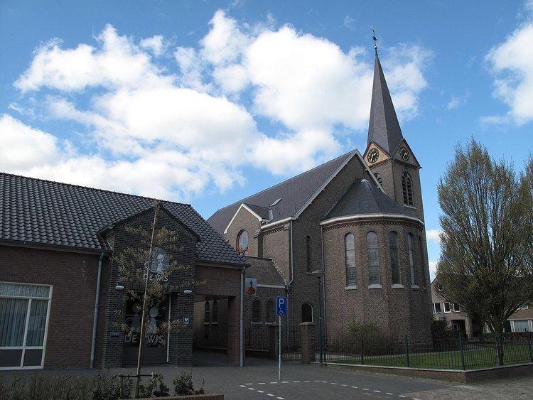
Attractions
Towns nearby
Nistelrode, Dinther, Heeswijk, Vorstenbosch, Kaathoven