
Area 9.63 km² | Canton Valdahon Local time Sunday 7:45 PM | |
 | ||
Region Bourgogne-Franche-Comté Intercommunality Pays de Pierrefontaine-Vercel Weather 7°C, Wind E at 2 km/h, 80% Humidity | ||
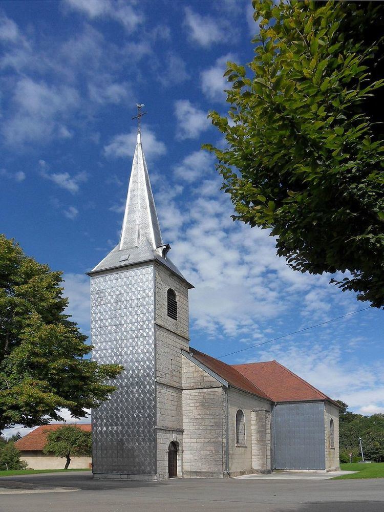
Longemaison is a commune in the Doubs département in the Bourgogne-Franche-Comté region in eastern France.
Contents
Map of Longemaison, France
Geography
The village likes on the wooded slopes of the Mont Chaumont, which is the highest point of the commune at 1092 meters.
References
Longemaison Wikipedia(Text) CC BY-SA