Rahul Sharma (Editor)

Long Palai

Updated on
Edit
Like
Comment
Share on FacebookTweet on TwitterShare on LinkedInShare on Reddit
Country
  
Malaysia

Elevation
  
572 m

Administrative division
  
Marudi

State
  
Sarawak

Local time
  
Monday 12:29 AM

Long Palai

Weather
  
13°C, Wind SW at 3 km/h, 100% Humidity

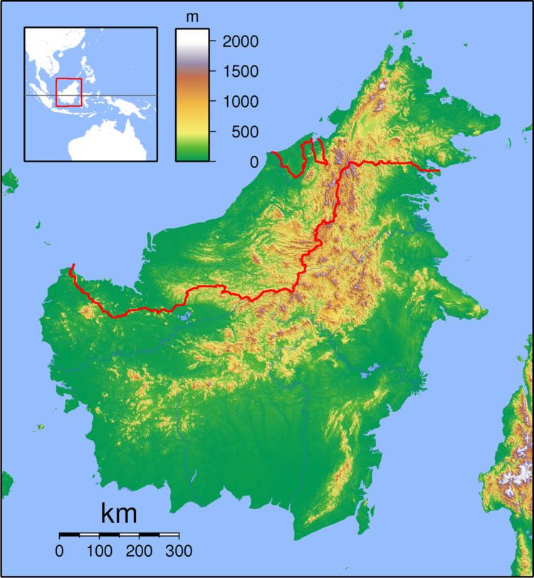
Long Palai is a settlement in the Marudi division of Sarawak, Malaysia. It lies approximately 526.3 kilometres (327 mi) east-north-east of the state capital Kuching.

Map of Long Palai, Sarawak, Malaysia

Long Palai is located on the Baram River in the Ulu Baram region of the interior of Sarawak, upstream from Long Anap. The people belong to the Kenyah tribe.

Neighbouring settlements include:

  • Long Anap 2.6 kilometres (1.6 mi) northwest
  • Long Julan 6.7 kilometres (4.2 mi) northwest
  • Lio Lesong 8.3 kilometres (5.2 mi) southeast
  • Long Apu 9.5 kilometres (5.9 mi) north
  • Long Taan 14.9 kilometres (9.3 mi) southeast
  • Long Selatong 20.5 kilometres (12.7 mi) north
  • Long Moh 26 kilometres (16.2 mi) east
  • Long Selaan 28 kilometres (17.4 mi) east
  • Long San 28.4 kilometres (17.6 mi) north
  • Long Akah 30.2 kilometres (18.8 mi) north
  • References

    Long Palai Wikipedia