
Elevation 281 m Number of airports 1 | Local time Sunday 10:47 PM Administrative division Marudi | |
 | ||
Weather 23°C, Wind S at 3 km/h, 98% Humidity | ||
Long Akah (also known as Long Aka) is a settlement in interior of the Marudi division of Sarawak, Malaysia, on the upper reaches of the Baram river. It lies approximately 531 kilometres (330 mi) east-north-east of the state capital Kuching.
Contents
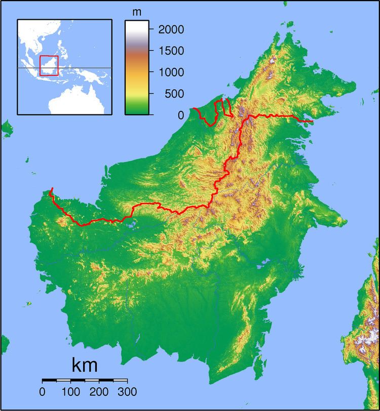
Map of Long Aka, Sarawak, Malaysia
The village is an old Chinese trading post, about ten minutes downstream by boat from Long San.
It is the site of an old Fort built in 1929 as an administrative centre in Charles Vyner Brooke’s era. The structural timber in the two-storey fort is the very hard Ironwood (local name Kayu Balian) and it has undergone some refurbishment, including replacing the timber roof tiles with zinc roofing.
Neighbouring settlements include:
Transportation
Long Akah Airport is a STOL airfield, providing access to this remote village from Miri and Marudi.