
Parent peak Rosco Peak Parent range Sierra Nevada Prominence 129 m | Topo map USGS Mount Langley Elevation 3,947 m Mountain range Sierra Nevada | |
 | ||
Similar Mount Whitney, Mount Langley, Mount Russell, Mount Williamson, Bear Creek Spire | ||
Lone pine peak
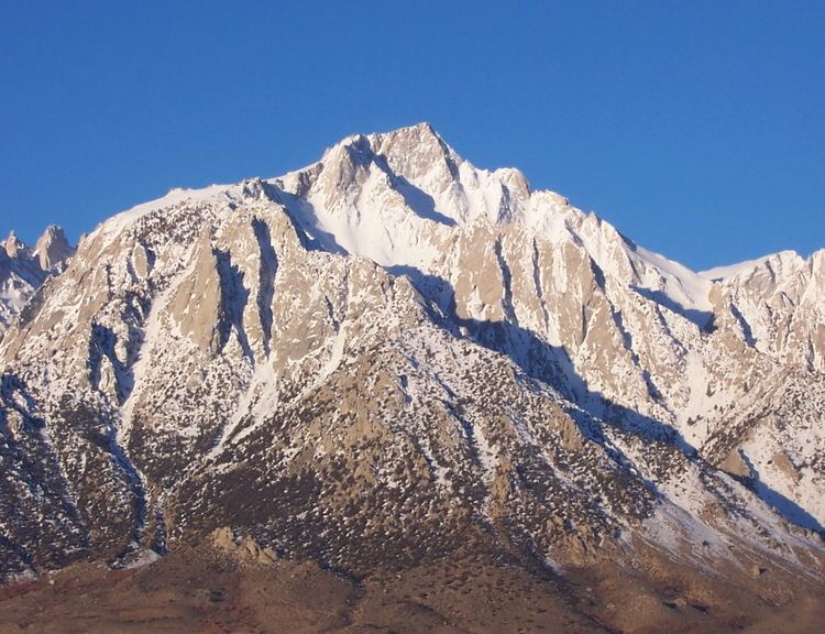
Lone Pine Peak is located on the east side of the Sierra Nevada range just west of the town of Lone Pine, California in Inyo County, in eastern California in the southwestern United States. The summit marks the eastern boundary of the John Muir Wilderness in the Inyo National Forest. Lone Pine Peak is the mountain in the photo for the default desktop of macOS Sierra.
Contents
- Lone pine peak
- Map of Lone Pine Peak California USA
- Lone pine peak north ridge the amazing knife edge part 2
- References
Map of Lone Pine Peak, California, USA
Lone pine peak north ridge the amazing knife edge part 2
References
Lone Pine Peak Wikipedia(Text) CC BY-SA