
Elevation 3,633 m | Prominence 12 m | |
 | ||
Topo map USGS 7.5' topographic mapMonarch Lake, Colorado Similar Buffalo Peak, Front Range, Windy Peak, North Arapaho Peak, Mount Audubon | ||
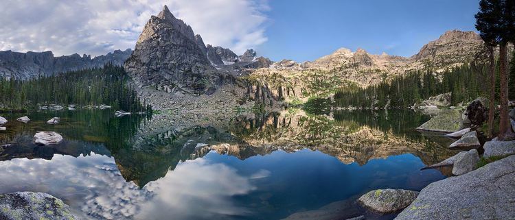
Lone Eagle Peak is a mountain summit in the Indian Peaks of the Front Range of the Rocky Mountains of North America. The 11,946-foot (3,641 m) peak is located in the Indian Peaks Wilderness of Arapaho National Forest, 12.4 miles (19.9 km) northeast by north (bearing 37°) of the Town of Frasier in Grand County, Colorado, United States. Lone Eagle Peak was named in honor of Charles Lindbergh.
Contents
Map of Lone Eagle Peak, Colorado 80466, USA
Historical namesEdit
References
Lone Eagle Peak Wikipedia(Text) CC BY-SA