
Isolation 8.40 mi (13.52 km) Elevation 3,846 m Range San Juan Mountains | Parent range San Miguel Mountains Prominence 693 m | |
 | ||
Topo map USGS 7.5' topographic mapLone Cone, Colorado Similar Dolores Peak, Lizard Head, Mount Wilson, El Diente Peak, Hesperus Mountain | ||
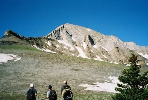
Lone Cone is a prominent mountain summit at the western end of the San Miguel Mountains range of the Rocky Mountains of North America. The 12,618-foot (3,846 m) peak is located 24.2 miles (38.9 km) west by south (bearing 262°) of the Town of Telluride, Colorado, United States, on the drainage divide separating San Juan National Forest and Dolores County from Uncompahgre National Forest and San Miguel County.
Contents
Map of Lone Cone, Colorado 81323, USA
Historical namesEdit
References
Lone Cone (Colorado) Wikipedia(Text) CC BY-SA