
Topo map USGS Logan Peak Prominence 913 m Parent range Bear River Mountains | Elevation 2,960 m Mountain range Bear River Mountains | |
 | ||
Easiest route Hiking trail or rugged jeep trail Similar Naomi Peak, Abajo Peak, Delano Peak, Signal Peak, Mount Ellen | ||
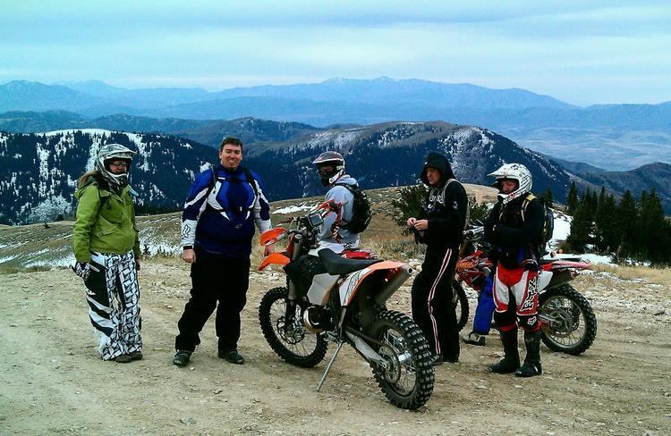
Logan Peak, commonly referred to as Mount Logan, is a peak in the Bear River Mountains, a branch of the Wasatch Range. Located six miles east-southeast of Logan, Utah in the Uinta-Wasatch-Cache National Forest, it is the second highest peak overlooking Cache Valley after Mt. Naomi. Logan Peak rises to an elevation of 9,714 feet (2,961 m) . It is served by hiking trails and a narrow, unpaved access road suitable only for offroad vehicles. It is the only mountain in the Bear River Range with a road to the summit. The peak houses a weather station and a telecommunications tower. Logan Peak is a popular destination for hikers and mountain bikers during the warmer months and advanced cross-country skiers in winter. During the winter, a circular hollow on the east side of the peak, known locally as Crystal Valley, is popular with snowmobilers.