
Demonym(s) Lochemer Postcode 7210–7218, 7240–7245 Local time Sunday 12:45 AM | Elevation 14 m (46 ft) Time zone CET (UTC+1) Area code 0573, 0575 | |
 | ||
Weather 7°C, Wind E at 13 km/h, 69% Humidity | ||
Lochem ( pronunciation ) is a municipality and a city in the eastern Netherlands. On 1 January 2005, the municipality merged with the municipality of Gorssel.
Contents
Map of Lochem, Netherlands
Population centres
Small hamlets are printed in italics.
Formerly in Gorssel:
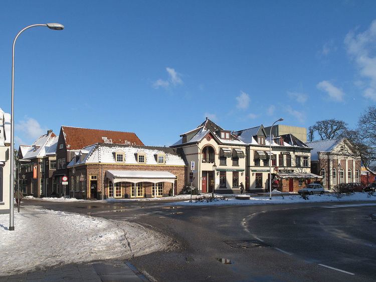
The city of Lochem
Lochem, 18 km (11 mi) east of Zutphen, received city rights in 1233. Until the 17th century, it was often besieged and burnt down. After 1700, it became a small market town for the farmers in its surroundings.
The village of Laren (Gelderland) has a castle called Verwolde. In summer, guided tours of this castle are organized for tourists. On its estate there is a tree, said to be the thickest tree in the Netherlands ( "de dikke boom van Verwolde").
Transport
Lochem railway station - Railway Zutphen to Oldenzaal (line 73): Zutphen - Lochem - Goor (mun. Hof van Twente) - Delden (ditto) - Hengelo - Oldenzaal.