
Primary inflows Max. width 0.66 mi (1.06 km) Surface elevation 85 m Mean depth 1.8 m | Primary outflows Leuchar Burn Max. length 1 mi (1.6 km) Length 1.6 km Area 144 ha Width 1.06 km | |
 | ||
Similar Drum Castle, Brimmond Hill, Loch Kinord, Bennachie, Grey Mare's Tail | ||
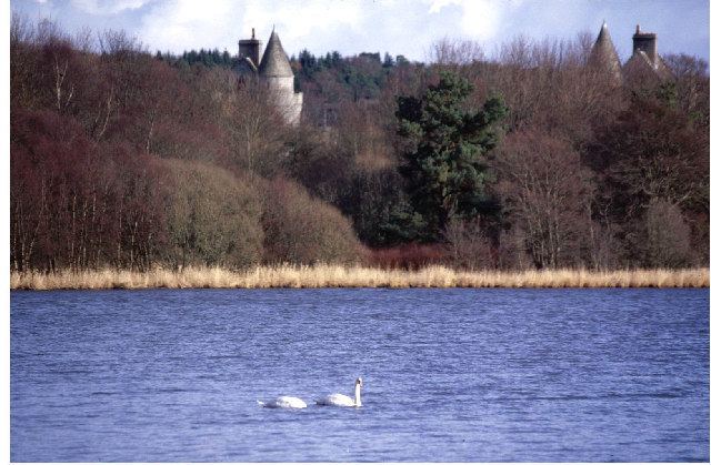
Loch of Skene is a large lowland, freshwater loch in Aberdeenshire, Scotland. It lies approximately 1 mi (1.6 km) to the west of the village of Kirkton of Skene and 9 mi (14 km) west of Aberdeen.
Contents
Map of Loch of Skene, Westhill, UK
The loch is partially man-made being dammed at its outflow on the southern shore to form a reservoir. Before 1905, water from the loch was used in the making of tweed and to turn the mill wheel at the Garlogie Mills. When the mills closed in 1905 the water was used to generate electricity.
Flora and faunaEdit
The loch is designated as a Special Protection Area, a Site of Special Scientific Interest and a Ramsar site for wildlife conservation purposes.
The loch supports concentrations of wildfowl in autumn and winter in particular greylag geese, goldeneye ducks and pink-footed geese. Common gulls are also found on the loch.
Reedbed and a birch and willow carr fringe the loch perimeter.
Pike are found in the loch and a permit is required for fishing.
RecreationEdit
The Aberdeen and Stonehaven Yachting Club is based at the loch.
SurveyEdit
The loch was surveyed on 17 July 1905 by T.N. Johnston and L.W. Collett and later charted as part of the Sir John Murray's Bathymetrical Survey of Fresh-Water Lochs of Scotland 1897-1909.