
Elevation 266 m Listing Marilyn | OS grid NJ856091 Prominence 159 m | |
 | ||
Topo map OS Landranger 38, Explorer 406 Similar Tyrebagger, Kirkhill Forest, Old Slains Castle, Hazlehead Park, Portlethen railway station | ||
Brimmond Hill is a hill in Aberdeen, Scotland that rises to a height of 266 metres. The summit is the highest point within the Aberdeen City council area.
Contents
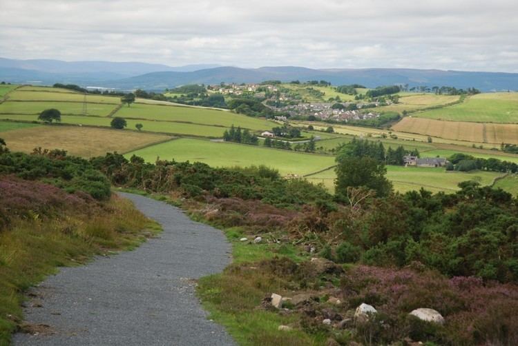
Map of Brimmond Hill, Aberdeen, UK
The hill itself is situated in the area between Kingswells, Westhill, Blackburn and Dyce. There is a transmitter on the top of the hill, and there are also paths and a road to the top of the hill. The hill can be reached directly from paths that connect to Kingswells, and at the summit a view across the city of Aberdeen is available.
Transmitter site
The top of the hill has a collection of transmitter sites for microwave transmission, by line-of-sight communication. The communication sites from here have direct links between North Sea Oil platforms and their headquarters in Aberdeen.
References
Brimmond Hill Wikipedia(Text) CC BY-SA