
Location Highlands of Scotland Basin countries United Kingdom Max. width 1 km (0.62 mi) Length 6.5 km Width 1 km | Max. length 6.5 km (4 mi) Max. depth 47 m (154 ft) Surface elevation 32 m | |
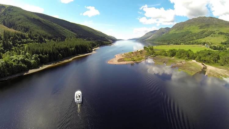 | ||
Loch Oich (/ˌlɒx ˈɔɪx/; Scottish Gaelic: Loch Omhaich) is a freshwater loch in the Highlands of Scotland which forms part of the Caledonian Canal, of which it is the highest point. This narrow loch lies between Loch Ness (to the Northeast) and Loch Lochy (to the Southwest) in the Great Glen. It is fed by the River Garry (from Loch Garry) from the West, and feeds the River Oich from its North end. The Laggan locks separate it from Loch Lochy.
Map of Loch Oich, Invergarry, UK
The Loch Oich wildlife is rich with a wide variety of fish, amphibians, reptiles, birds and mammals.
Every autumn the Atlantic salmon (Salmo salar) migrates from the sea using Loch Oich, Loch Lochy and Loch Ness as their spawning nests. After two years when the fingerling are up to 20 cm (8 in) long they migrate back to the sea where they grow rapidly and weigh from 3.5–17 kg (8–37 lb) after two years.
Thomas Telford artificially raised the level of the loch by many feet to provide a navigable channel for the Caledonian Canal.