
 | ||
Loch Mhòr is a loch in the traditional county of Inverness-shire in the Scottish Highlands. It occupies much of the wide floor of Stratherrick which runs roughly parallel to Loch Ness around 3 mi / 5 km to its southeast. A generally shallow body of water 179m above Loch Ness, Loch Mhòr achieves a depth in excess of 20m towards its southern end.
Map of Loch Mhor, Inverness, UK
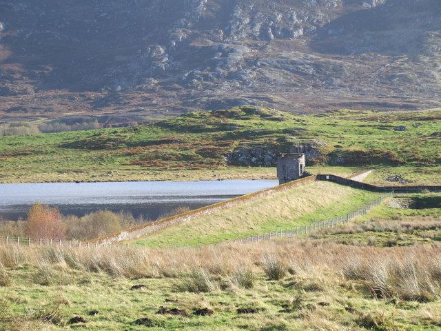
Loch Mhòr was originally two separate lochs, Loch Garth in the southwest and Loch Farraline in the northeast. The water level was raised, so it could be used as a reservoir for a hydro-electric scheme and associated aluminium smelter at Foyers (the smelter closed in 1967, but the Loch is still used as a reservoir for a 300 MW pumped-storage hydroelectricity facility). This joined the two lochs into one, though they are still divided by a causeway carrying a minor road. In its middle reaches, a broad and shallow embayment on its southeastern shore contains a scatter of islets.
The main rivers into the Loch are the River E, and some of the flow of the River Fechlin, which has been diverted through an aqueduct.
The waters of the loch empty as the River Gourag below a dam at its southwestern end. This short river joins the River Foyers which empties into Loch Ness.