 | ||
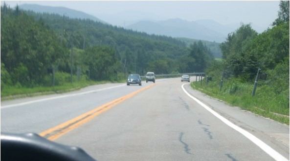
In South Korea, highways that are managed by the provincial governments are called Local highways (Hangul: 지방도; Hanja: 地方道; RR: Jibangdo). Usually route numbers have 2~4 digits; the first digit stands for the main province of its manager.
Contents
Route Numbers
State-funded local highways
There are some 2-digits local highways, called State-funded local highways (Hangul: 국지도; Hanja: 國地道; RR: Gukjido; short term of Hangul: 국가지원지방도; Hanja: 國家支援地方道; RR: Gukga Jiwon Jibangdo). These highways are basically managed by province level, but its routes are designated and controlled by the South Korean government. Also, most of 2-digits Local highways stand for planned extension route of the same-number national highways or candidates for upgrading to national routes.
List of the routes
These are the list of the routes. For the state-funded local highway, See #State-funded local highways.
Gyeonggi Province (300s)
Local highways of Gyeonggi Province were changed a lot in 1996 and 2005.
