
OS grid reference SO350075 Country Wales Postcode district NP7 Local time Thursday 11:12 AM | Sovereign state United Kingdom Dialling code 01873 | |
 | ||
Weather 9°C, Wind NE at 27 km/h, 83% Humidity | ||
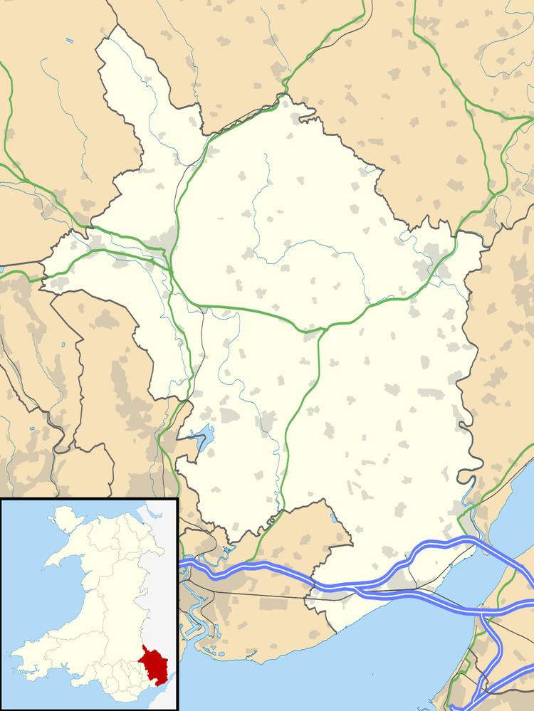
Llanfair Kilgeddin (Welsh: Llanfair Cilgedin) is a small village in Monmouthshire, south east Wales. It is located four miles north west of Usk and six miles south east of Abergavenny on the B4598 road. The River Usk passes close by.
Contents
Map of Llanvair Kilgeddin, Abergavenny, UK
History and amenities
A Norman motte and bailey castle site remains near the village.
The parish church, Church of St. Mary the Virgin, Llanfair Kilgeddin, is located about 1 mile (1.6 km) north of the village.
Pant-y-Goitre House is a Grade II listed country house thought to date c.1776.
References
Llanfair Kilgeddin Wikipedia(Text) CC BY-SA