
Topo map Ophir Range Rocky Mountains | Elevation 3,116 m | |
 | ||
Similar Lizard Head, San Juan Mountains, Dallas Divide, Red Mountain Pass, Rocky Mountains | ||
Lizard head pass
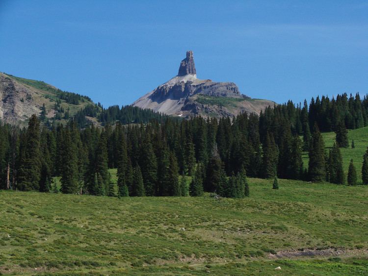
Lizard Head Pass, elevation 10,222 feet (3,116 m), is a mountain pass in the San Juan Mountains of Colorado, on the border between Dolores and San Miguel counties. It is also on the divide between the watersheds of the Dolores and San Miguel Rivers. The pass is named for a prominent nearby peak that is said to look like the head of a lizard, the 13,113 ft (3,997 m) spire of Lizard Head. The pass is currently traversed by State Highway 145, about 12 miles south of the Telluride turnoff, and was until 1952 also used by the historic Rio Grande Southern Railroad. Although the grades on both sides of the pass are mild for automobile traffic, this was a significant obstacle for the railroad, and this was a factor leading to the use of the legendary Galloping Goose railcars.
Contents
- Lizard head pass
- Map of Lizard Head Pass Colorado 81426 USA
- Colorado rt 145 telluride to lizard head pass
- References