
Area 2,795 km² Population 11,867 (2013) Unemployment rate 3.3% (Apr 2015) | Website www.co.live-oak.tx.us Founded 1856 | |
 | ||
Rivers Atascosa River, Nueces River, Lang Creek, Frio River | ||
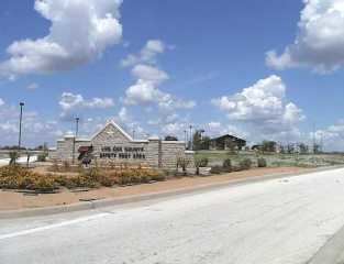
Live Oak County is a county located in the U.S. state of Texas. As of the 2010 census, its population was 11,531. Its county seat is George West. The county was named for the groves of live oak within its borders.
Contents
- Map of Live Oak County TX USA
- Geography
- Major highways
- Adjacent counties
- Demographics
- Government and infrastructure
- Cities
- Village
- Unincorporated communities
- Ghost town
- References
Map of Live Oak County, TX, USA
Geography
According to the U.S. Census Bureau, the county has a total area of 1,079 square miles (2,790 km2), of which 1,040 square miles (2,700 km2) is land and 39 square miles (100 km2) (3.6%) is water. It is home to the Choke Canyon Reservoir.
Major highways
Adjacent counties
Demographics
As of the census of 2000, there were 12,309 people, 4,230 households, and 3,070 families residing in the county. The population density was 12 people per square mile (5/km²). There were 6,196 housing units at an average density of 6 per square mile (2/km²). The racial makeup of the county was 87.28% White, 2.45% Black or African American, 0.41% Native American, 0.19% Asian, 0.02% Pacific Islander, 7.72% from other races, and 1.94% from two or more races. 38.05% of the population were Hispanic or Latino of any race.
There were 4,230 households out of which 30.90% had children under the age of 18 living with them, 60.10% were married couples living together, 8.70% had a female householder with no husband present, and 27.40% were non-families. 23.90% of all households were made up of individuals and 12.40% had someone living alone who was 65 years of age or older. The average household size was 2.53 and the average family size was 3.00.
In the county, the population was spread out with 22.30% under the age of 18, 9.50% from 18 to 24, 27.10% from 25 to 44, 25.10% from 45 to 64, and 16.00% who were 65 years of age or older. The median age was 39 years. For every 100 females there were 122.20 males. For every 100 females age 18 and over, there were 129.80 males.
The median income for a household in the county was $32,057, and the median income for a family was $38,235. Males had a median income of $30,061 versus $19,665 for females. The per capita income for the county was $15,886. About 14.10% of families and 16.50% of the population were below the poverty line, including 22.20% of those under age 18 and 11.70% of those age 65 or over.
Government and infrastructure
The Federal Bureau of Prisons, Federal Correctional Institution, Three Rivers is located in unincorporated Live Oak County, near Three Rivers.