
OS grid SE012768 Elevation 604 m | Topo map OS Landranger 98 | |
 | ||
Similar Great Whernside, Angram Reservoir, Scar House Reservoir, Buckden Pike, Penhill | ||
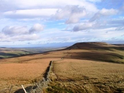
Little Whernside is a hill in the Yorkshire Dales, North Yorkshire, England, 2.5 miles (4.0 km) north east of Great Whernside. It is on the boundary between the Yorkshire Dales National Park and Nidderdale Area of Outstanding Natural Beauty, and forms the watershed between Coverdale and Nidderdale.
Map of Little Whernside, Leyburn, UK
Little Whernside is on private land. Until 1997 no public right of way was established to the summit of Little Whernside, but in that year a public footpath was established along the ridge linking the summit to the summit of Great Whernside. Following the Countryside and Rights of Way Act 2000 the hill became open access land. Little Whernside can be ascended from Scar House Reservoir.
References
Little Whernside Wikipedia(Text) CC BY-SA