
Listing (none) Topo map OS Landranger 154 Prominence 12 m | OS grid TL488529 Elevation 74 m | |
 | ||
Similar Rowley's Hill, Great Wood Hill, Rivey Hill, Beacon Hill - Norfolk, Ivinghoe Beacon | ||
Little Trees Hill is the highest point of the Gog Magog Downs, a ridge of low chalk hills extending for several miles to the south-east of Cambridge in England. Unusually for a Cambridgeshire hill, its summit is reachable by a public footpath. A footpath runs from the Magog Down car park on Haverhill Road, Stapleford to the top. The highest inches are behind a fence in a wood, but most visitors will be content to survey the view from the seats by the fence.
Map of Little Trees Hill, Stapleford, Cambridge, UK
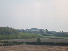
The panorama westward is stunning; looking northwest there is no higher ground for 50 miles until you reach the Lincolnshire Wolds (but you'd be lucky to see that far!) The city of Cambridge is seen in all its glory, with Addenbrooke's Hospital and the Catholic Church prominent. The Madingley Hills can be seen over the other side of the Cam valley and Castle Hill in Cambridge is prominent. To the southwest, Rowley's Hill and the obelisk on St Margaret's Mount can be seen through binoculars.
A pleasant circular walk can be made by following the path northeast towards the A1307 for a quarter of a mile, then taking the footpath back to the car park. The hill is popular with dog walkers (watch your eyes!) and with sledges on the rare occasions when the hill is covered with snow (the last such time was in January 2004).
The other summit in the range is Wandlebury Hill about 500 metres to the north east and to which this hill is connected by a low ridge.