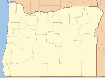
- elevation 1,245 ft (379 m) | - elevation 620 ft (189 m) | |
 | ||
- location near Apiary, Columbia County, Oregon | ||
The Little Clatskanie River is a short tributary of the Clatskanie River in Columbia County in the U.S. state of Oregon. It begins near Sarafin Point in the Northern Oregon Coast Range northwest of St. Helens and flows generally north to meet the larger stream near the unincorporated community of Apiary. The mouth of the Little Clatskanie is about 16 miles (26 km) from the main stem Clatskanie's confluence with the Columbia River. The Little Clatskanie has no named tributaries.
Map of Little Clatskanie River, Oregon, USA
According to Fishing in Oregon, the entire Clatskanie system supports a population of resident cutthroat trout.
References
Little Clatskanie River Wikipedia(Text) CC BY-SA
