
OS grid reference TQ943459 Sovereign state United Kingdom Local time Friday 7:53 AM | Civil parish Little Chart Area 6.01 km² Dialling code 01233 | |
 | ||
Population 234 (Civil Parish 2011) Weather 8°C, Wind NE at 26 km/h, 88% Humidity | ||
Little Chart is a civil parish and small village, centred 4 miles (6.4 km) north-west of Ashford in Kent, South East England and wholly south of the M20 motorway.
Contents
Map of Little Chart, UK
Geography
Within the parish boundaries is the linear settlement village centre by the old water mill and two smaller neighbourhoods less than 500m east:
The river flowing eastwards, passing a long mill pond and mill on its way, is the West Stour.
History
The secular property that would have had the highest grading of listed building in the parish, Surrenden Park, half in Pluckley, was owned by the Dering family for over 400 years; the family estate covered about four square miles of Kent. Part of their property was Calehill Park, to the north. Neither property now exists: Surrenden succumbed to fire in 1952; Calehill was demolished in 1951.
Transport
Little Chart is situated close to the M20 motorway. The closest railway station is Charing.
Amenities
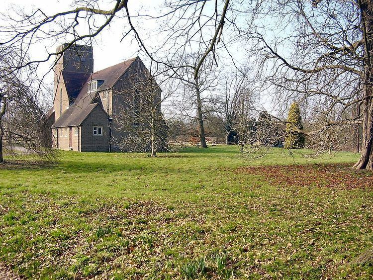
The original village church, to St Mary the Virgin and the Holy Rood, was wrecked in 1944 by a V-1 flying bomb during World War II; it stood on a site further upstream from the village, near Chart Court. The new church is now within the village.
The Ford Paper Mill, named after the one-time ford over the Great Stour, has a long history, and is still in operation dealing in salvaged paper.
The Stour Valley Walk, which follows the Great Stour river, and the Greensand Way, from north to south, are both routed through the village. The village has a large pub, The Swan Inn.
Past residents
Jonathan Bates, the Oscar-nominated sound engineer and youngest son of acclaimed writer H. E. Bates, was born in the village.