
PIN 816117 (Pakuria) Elevation 30 m Area code 06435 | Time zone IST (UTC+5:30) Telephone/STD code 06435 Population 105,701 (2011) | |
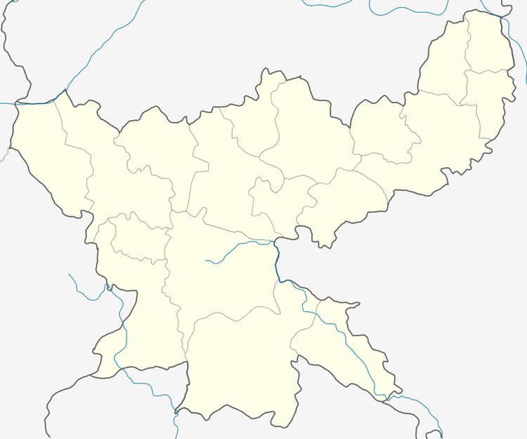 | ||
Littipara is a community development block that forms an administrative division of Pakur district, Jharkhand state, India. It is located 28 km from Pakur, the district headquarters.
Contents
Geography
Litipara, the eponymous CD Block headquarters, is located at 24°41′41.9″N 87°37′1″E. It is on the Dumka-Sahibganj Road.
Litipara CD Block covers an area of 413.05 km2 and has 17 panchayats, 270 inhabited (chiragi) villages and 15 uninhabited (bechiragi) villages.
Demographics
As per 2011 Census of India, Litipara CD Block had a total population of 105,701, all of which were rural. There were 52,850 (50%) males and 52,851 (50%) females. Population below 6 years was 21,919. Scheduled Castes numbered 2,412 and Scheduled Tribes numbered 76,352.
In 2011, Litipara (village) had a population of 2,294.
In 2001 census, Hindus constituted 47.79%, Christians 14.90% and Muslims 10.98% of the population in Littipara CD Block. In the district as a whole Hindus constituted 44.45%, Muslims 32.74% and Christians 6.01% of the population. The percentage of scheduled tribes in the population of Littipara CD block was 71.68%. In the district as a whole scheduled tribes constituted 44.59% of the population. Around 85% of the tribal population was composed of Santhals. There are two primitive groups – Mal Paharias and Sauria Paharias.
Literacy
As of 2011 census, the total number of literates in Litipara CD Block was 34,099 (40.70% of the population over 6 years) out of which 21,247 (62%) were males and 12,852 (38%) were females.
As of 2011 census, literacy in Pakur district was 48.82. Literacy in Jharkhand (for population over 7 years) was 66.41% in 2011. Literacy in India in 2011 was 74.04%.
Predominantly agricultural district
Pakur is predominantly a hilly district. There is a narrow fertile alluvial tract bordering the Ganges Feeder Canal. While the hills stretch from the north to the south-east, the rest is rolling area, which is less conducive to agricultural operations than the alluvial strip. The net sown area of the district is around 28%. Thus though the district is predomnantly agricultural it offers only limited opportunities to the people. Many people from the district migrate to the neighbouring districts of West Bengal during the agricultural seasons.
Coal mining
Simlong and Chatkam collieries and other nearby collieries of Rajmahal coalfield are operated by Eastern Coalfields Limited in Littipara CD Block.