
 | ||
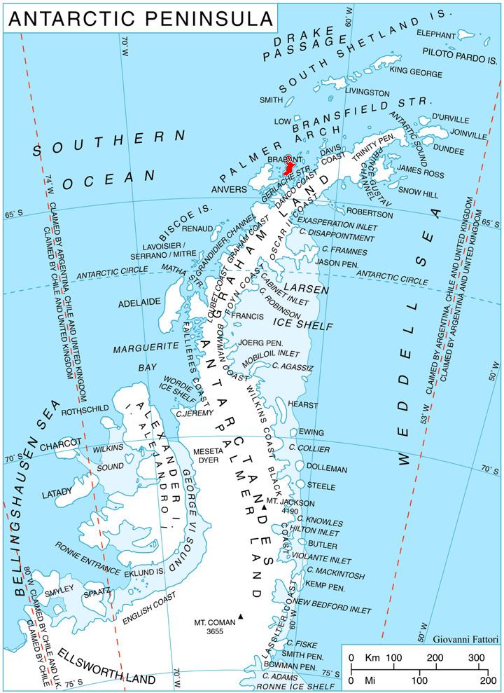
Lister Glacier (64°5′S 62°19′W) is a glacier 5 nautical miles (9 km) long and 1 nautical mile (2 km) wide, draining the northeast slopes of Stribog Mountains and flowing into Bouquet Bay just south of Duclaux Point on the northeast side of Brabant Island, in the Palmer Archipelago, Antarctica.
Contents
Map of Lister Glacier, Antarctica
The glacier was shown on an Argentine government chart in 1953, but not named. It was photographed by Hunting Aerosurveys Ltd in 1956–57, and mapped from these photos in 1959. It was named by the UK Antarctic Place-Names Committee for Joseph Lister, 1st Baron Lister, an English surgeon who was the founder of antiseptic surgery.
Maps
References
Lister Glacier (Palmer Archipelago) Wikipedia(Text) CC BY-SA