 | ||
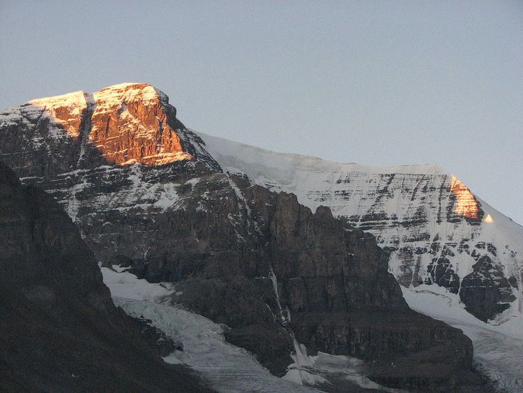
Most of Alberta's mountains are found in the south-western part of the province of Alberta on the eastern slopes of the Canadian Rockies. Other elevated spots can be found in the Caribou Mountains and the Cypress Hills.
Contents
The peaks of the Canadian Rockies are majestic, many of them reaching a height of more than three kilometres above sea level. Alberta's southwestern boundary is traced on the Continental Divide, along the high ranges of the Rocky Mountains, and many peaks are located on the Alberta–British Columbia border.
The Caribou Mountains are located in the northern extremity of Alberta, forming an elevated plateau in the northern plains and wetlands. They reach an altitude of 1,030 m, almost 700 m higher than the surrounding area.
While not considered mountains, the Cypress Hills, located in south-eastern Alberta, on the Saskatchewan border, constitute the highest terrain between the Rocky Mountains and Labrador. They reach a maximum elevation of 1,468 m, 600 m above the surrounding prairie.
Highest peaks
- Mount Columbia - 3,747 m (12,293 ft)
- Twin Peaks massif - 3,684 m (12,087 ft)
- Mount Alberta - 3,619 m (11,873 ft)
- Mount Assiniboine - 3,616 m (11,864 ft)
- Mount Forbes - 3,612 m (11,850 ft)
- Mount Temple - 3,543 m (11,624 ft)
- Mount Brazeau - 3,525 m (11,565 ft)
- Snow Dome - 3,520 m (11,549 ft)
- Mount Kitchener - 3,505 m (11,499 ft)
- Mount Lyell - 3,504 m (11,496 ft)
List of ranges
List of passes
The Rockies are crossed through east-west alpine passes, such as:
