
 | ||
Municipal district Vashkinsky Municipal District | ||
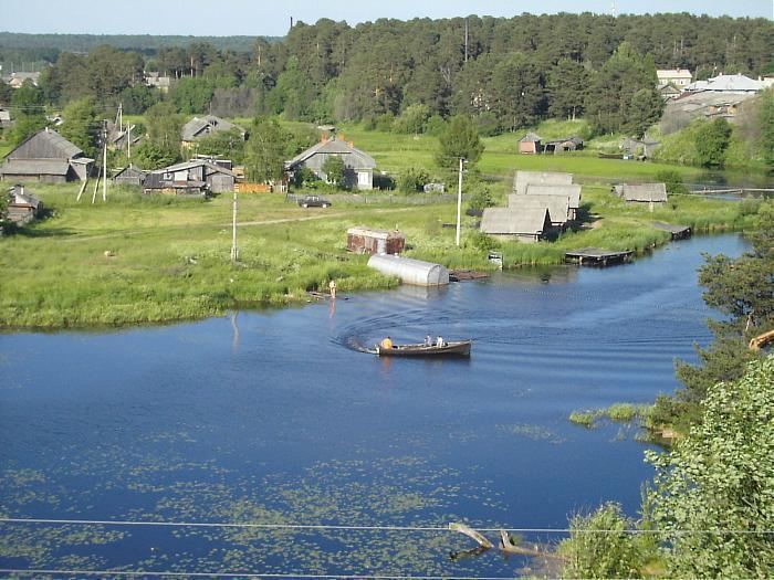
Lipin Bor (Russian: Липин Бор) is a rural locality (a selo) and the administrative center of Vashkinsky District, Vologda Oblast, Russia, located on the northern shore of Lake Beloye. It also serves as the administrative center of Lipinoborsky Selsoviet, one of the twelve selsoviets into which the district is administratively divided. Municipally, it is the administrative center of Lipinoborskoye Rural Settlement. Population: 3,672 (2010 Census); 3,845 (2002 Census); 4,083 (1989 Census).
Contents
Map of Lipin Bor, Vologda Oblast, Russia
History
Lipin Bor was founded in 1938. The administrative center of Vashkinsky District was immediately transferred to Lipin Bor from the selo of Vashki.
Industry
In Lipin Bor, there are food industry and timver industry enterprises.
Transportation
There is a highway connecting Vologda and Vytegra which passes several kilometers from Lipin Bor. Another road branches off south, running via Lipin Bor to Belozersk. There are also local roads with bus traffic.
Lake Beloye is a part of the Volga–Baltic Waterway (formerly known as the Mariinsk Canal System), connecting the Rybinsk Reservoir in the river basin of the Volga and Lake Onega in the river basin of the Neva.
Culture and recreation
The Trinity Church (1792) in Lipin Bor has been designated as an architectural monument of local significance.
Vashkinsky District Museum is located in Lipin Bor.
The height of a telemast in Lipin Bor is 350 metres (1,150 ft), which makes it one of the tallest telemasts in Russia.