
Country Italy Demonym(s) Lionesi Area 46.17 km² Local time Saturday 2:44 PM | Elevation 550 m (1,800 ft) Time zone CET (UTC+1) Postal code 83047 | |
 | ||
Weather 13°C, Wind SW at 27 km/h, 64% Humidity | ||
Lioni vaiko vijayakhanth comedy political
Lioni is a town and comune in the province of Avellino, Campania, Italy. Its population was, in 2008, of 6,390.
Contents
- Lioni vaiko vijayakhanth comedy political
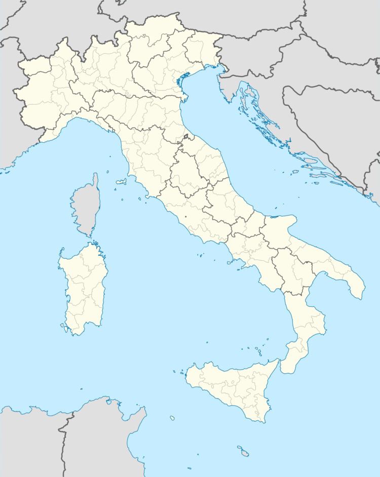
- Map of 83047 Lioni Province of Avellino Italy
- I lioni pattimandram pongal special new 5
- Geography
- History
- References
Map of 83047 Lioni Province of Avellino, Italy
I lioni pattimandram pongal special new 5
Geography
Located in western Irpinia, the municipality borders with Bagnoli Irpino, Calabritto, Caposele, Morra De Sanctis, Nusco, Sant'Angelo dei Lombardi and Teora. It is 50 kilometres (31 mi) from Avellino and is linked by a mountain road to the ski resort of Laceno.
History
The town's name appears for the first time in a deed of gift dated 883, with which the Lombard prince Sicardo granted the abbess of S. Sofia a property located in "Lions" (Lioni).
The ancient settlement was probably one of the smaller neighboring towns of Ferentino, a Samnite stronghold destroyed by the Romans during the violent wars that bloodied the area.
The remains of Cyclopean walls typical of Samnite fortified villages were found on mount Oppido between Lioni and Caposele. Samnites built these fortified walls because they were constantly besieged by the Romans. The walls encompassed an area large enough to hold houses, barns, and land for pasture.
Numerous clay fragments, primarily from tiles and pottery, were found inside the walled area of Oppido. In addition, the town contains foundations of a large building whose layout resembles a medieval castle, and thus suggests continued use of the site in medieval times.
In 1986 a stone marker (Termine Graccano) was discovered between Lioni and Teora, in Contrada Civita. This marker confirmed the hypothesis that the territory of the High Ofanto was affected by the agrarian reform initiated by the Gracchi in the first century BC. This reform redistributed public agricultural lands to the poorest citizens of Rome. The lands were divided into lots according to a square lattice of streets intersecting at right angles (and main streets running along the cardinal points). The stone markers were placed at regular intervals within this grid. The marker found in Contrada Civita bears an inscription quoting Gaius Gracchus, the son of Tiberius Sempronia, who was a member of the agrarian commission between 131 and 121 BC.
Another important witness to the Romanization of the High Ofanto consists of a stele (stone tablet) found in the last century in the territory of Caposele, still in the area Oppido, and dating at the age of Domitian (81-96 AD).
The stele bears a dedication to the god Silvanus, by some Domitius Phaon, who donated some of his possessions to the college of priests of the deities, fulfilling a vow made to the health of the king and his family. The stele is now in the Museum of Avellino.
The catalog of the Barons noted that the feud of Oppido established by the Normans, was annexed to that of S. Angelo dei Lombardi in the fourteenth century.
Records by Anjou we learn that March 16, 1300 Philip de Oppido obtained from Charles II action against vassals who have moved from Oppido ad locum quendam eidem castro conterminum here vulgariter nuncupatur them lyuni.
Among the gentlemen of Lioni were the Balvano, the Gianvilla, the Caracciolo, and the Imperiale, who were the last feudal lords of the town.