
Population 431 (2011 census) Postcode(s) 4306 Postal code 4306 | Established 1901 County Cavendish Founded 1901 Local time Saturday 10:17 PM | |
 | ||
Weather 24°C, Wind NW at 6 km/h, 82% Humidity | ||
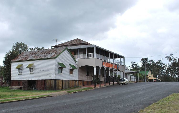
Linville is a town and locality in the Somerset Region of south east Queensland, Australia. In the 2011 census, Linville had a population of 431 people.
Contents
Map of Linville QLD 4306, Australia
History
On 19 August 1841, the Balfour brothers - John, Charles and Robert, took up Colinton run which included the present site of the town of Linville. The Balfours originally intended to build their homestead where Linville now stands but decided to establish it instead about 10 kilometres (6.2 mi) to the south, near where Emu Creek enters the Brisbane River.
During their occupancy of Colinton the Balfours built stockyards on the north bank of Greenhide Creek near its junction with the Brisbane River. The yards became known as "Nine Mile Yards". By about 1886 a small private township grew up at the spot and the Nine Mile Receiving Office opened there in 1898. The name was used up till 1901.
Surveyor E.M. Waraker laid out a town at Nine Mile and the plans of sections 2 to 7 of the town, to be known as Linton, were lodged with the Survey office on 6 December 1901. Linton was situated about 1 kilometre (0.62 mi) south east of where Linville now stands. Local residents wanted the name Linton, which was formed by dropping the syllable "Co" from "Colinton". The postal authorities did not favour this as there was already a place in Victoria called Linton, 30 kilometres (19 mi) west-south-west of Ballarat. A compromise was reached and at the request of residents the name of the receiving office was changed to Linville in November 1905; it became a post office in January 1910.
The same year saw the extension of the Brisbane Valley railway line to Linville from Toogoolawah. This allowed the timber industry to develop, with a sawmill opening in 1912 and logging continuing to be an important industry until the 1950s when cattle grazing become the predominant local industry. In 1920 some of the land was allocated to returning soldiers, some of whom setup dairy farms.
Colinton Provisional School opened on 11 November 1901. In April 1905 it was renamed Oakey Provisional School and in September 1906 Linville Provisional School. It became Linville State School in 1909.
The Linville War Memorial is located in George Street; it commemorates those from the district who served in World War I.
At the 2006 census, Linville had a population of 110.
Heritage listings
Linville has a number of heritage-listed sites, including: