
District Nizamabad PIN 503124 Elevation 470 m | Time zone IST (UTC+5:30) Vehicle registration TS Local time Saturday 2:11 PM | |
 | ||
Weather 34°C, Wind NW at 14 km/h, 19% Humidity | ||
Lingampet is a panchayat village in Nizamabad District in the state of Telangana in India.
Contents
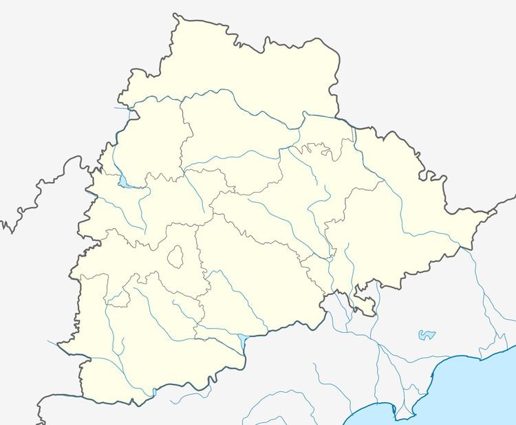
Map of Lingampet, Telangana 503124
Geography
Lingampet is located east of the south-flowing Allair River, a tributary of the Manjira River. Lingampet has an average elevation of 470 meters (1545 feet).
Mandal villages
Lingampet Mandal has sixteen panchayat villages each one of which manages one or more villages. The panchayat villages are:
Demographics
In the 2011 Census Lingampet Mandal had 48,961 inhabitants, 23,847 males and 25,114 females, all of them rural.
References
Lingampet Wikipedia(Text) CC BY-SA