
Country United States Elevation 1,914 m | Time zone MST (UTC-7) Local time Friday 9:37 PM | |
 | ||
Weather 9°C, Wind SW at 11 km/h, 41% Humidity | ||
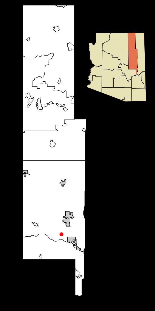
Linden is an unincorporated community located in Navajo County, Arizona, United States, just west of the city of Show Low. It is situated atop the Mogollon Rim at an elevation of over 6,000 feet. The community was evacuated in June 2002 due to the Rodeo-Chediski fire, which eventually consumed part of Linden, destroying a number of homes.
Contents
Map of Linden, Arizona 85901, USA
Linden is generally made up of larger ranches and rural subdivisions, including Cheney Ranch and Timberland Acres. As an unincorporated community with few businesses, many Linden residents make their livings in or around the city of Show Low.
Linden maintains its own fire district, and law enforcement is performed by Navajo County Sheriff's Office and Arizona Department of Public Safety.
Geography
State Route 260 runs through Linden and is the main vein of the community. Linden is characterized by open fields and gently rolling hills. Chief among the flora are Ponderosa Pine, Pinyon pine, Gambel oak, and numerous Shaggy bark and Alligator Junipers.
Education
Show Low Unified School District serves Linden.
Linden contains Linden Elementary School, a K-6 elementary school satellite campus of the district. Linden residents continue on to Show Low Junior High School and Show Low High School.