
Airport type Public Elevation AMSL 4,831 ft / 1,472 m Address Caliente, NV 89008, USA | Owner Lincoln County 17/35 4,606 Phone +1 702-334-8969 | |
 | ||
Similar Lincoln County Grant Ad, Cathedral Gorge State Park, Lincoln County Recorder, Lincoln County High Sch, Pioche Chamber of Comm | ||
Lincolnton lincoln county airport
Lincoln County Airport (FAA LID: 1L1) is a county owned, public use airport in Lincoln County, Nevada, United States. It is located two nautical miles (4 km) west of the central business district of Panaca, Nevada.
Contents
- Lincolnton lincoln county airport
- Da40 diamond lincoln county airport
- Facilities and aircraft
- References
The National Plan of Integrated Airport Systems for 2011–2015 categorized it as a general aviation facility.
Da40 diamond lincoln county airport
Facilities and aircraft
Lincoln County Airport covers an area of 190 acres (77 ha) at an elevation of 4,831 feet (1,472 m) above mean sea level. It has one runway designated 17/35 with an asphalt surface measuring 4,606 by 60 feet (1,404 x 18 m).
For the 12-month period ending January 31, 2011, the airport had 1,000 general aviation aircraft operations, an average of 83 per month. At that time there were three aircraft based at this airport: 67% single-engine and 33% ultralight.
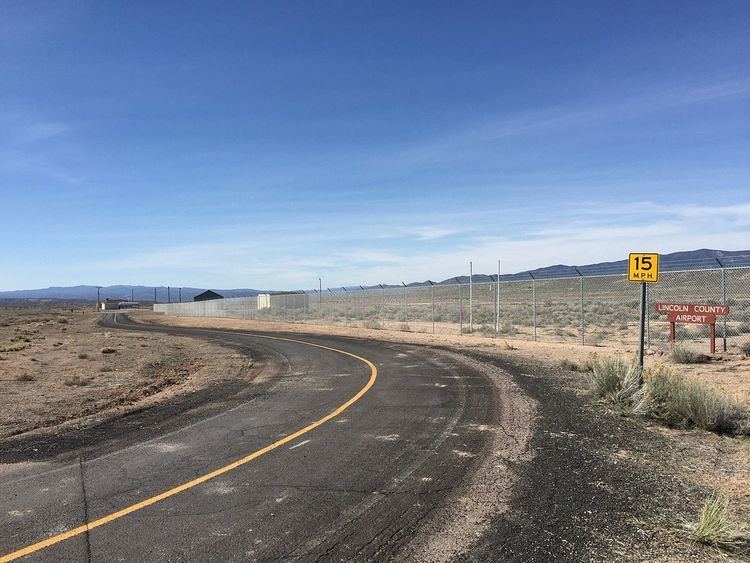
Road access to the airport is provided by Nevada State Route 816, which connects the airport to U.S. Route 93.