
Congressional district At-large Website www.lcwy.org Founded 1911 | Area 10,606 km² Population 18,364 (2013) | |
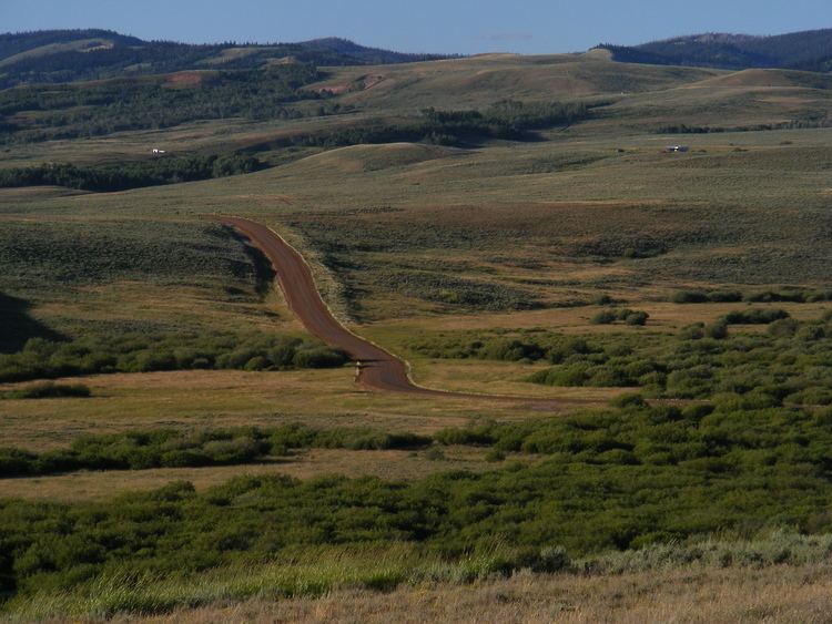 | ||
Rivers Green River, Hoback River, Crow Creek, Stump Creek Destinations Kemmerer, Afton, Alpine, Fossil Butte National Monument, Caribou‑Targhee National Forest Points of interest Fossil Butte National Monument, Wasatch Range, Intermittent Spring, Fossil Country Frontier, Pine Creek Ski Area | ||
Body found in lincoln county wyoming breaking news
Lincoln County is a county in the U.S. state of Wyoming. As of the 2010 census, the population was 18,106. Its county seat is Kemmerer. It is east from the Idaho-Utah state line.
Contents
- Body found in lincoln county wyoming breaking news
- Map of Lincoln County WY USA
- History
- Geography
- Adjacent counties
- National protected areas
- 2000 census
- 2010 census
- 2014 American Community Survey
- Education
- City
- Unincorporated communities
- References
Map of Lincoln County, WY, USA
History
Lincoln County was created February 21, 1911, with land detached from Uinta County, and organized in 1913.
The county was named for Abraham Lincoln, sixteenth president of the United States.
In 1921, Lincoln County lost territory when Sublette County and Teton County were created.
Geography
According to the U.S. Census Bureau, the county has a total area of 4,095 square miles (10,610 km2), of which 4,076 square miles (10,560 km2) is land and 19 square miles (49 km2) (0.5%) is water.
Adjacent counties
National protected areas
2000 census
As of the census of 2000, there were 14,573 people, 5,266 households, and 3,949 families residing in the county. The population density was 4 people per square mile (1/km²). There were 6,831 housing units at an average density of 2 per square mile (1/km²). The racial makeup of the county was 97.15% White, 0.10% Black or African American, 0.57% Native American, 0.23% Asian, 0.05% Pacific Islander, 0.71% from other races, and 1.19% from two or more races. 2.16% of the population were Hispanic or Latino of any race. 29.0% were of English, 14.6% German, 9.5% American and 6.1% Irish ancestry.
There were 5,266 households out of which 36.5% had children under the age of 18 living with them, 66.7% were married couples living together, 5.1% had a female householder with no husband present, and 25.0% were non-families. 21.0% of all households were made up of individuals and 7.9% had someone living alone who was 65 years of age or older. The average household size was 2.75 and the average family size was 3.23.
In the county, the population was spread out with 30.9% under the age of 18, 7.2% from 18 to 24, 25.4% from 25 to 44, 24.2% from 45 to 64, and 12.4% who were 65 years of age or older. The median age was 37 years. For every 100 females there were 102.0 males. For every 100 females age 18 and over, there were 101.3 males.
The median income for a household in the county was $40,794, and the median income for a family was $44,919. Males had a median income of $37,353 versus $20,928 for females. The per capita income for the county was $17,533. About 6.4% of families and 9.0% of the population were below the poverty line, including 11.6% of those under age 18 and 6.4% of those age 65 or over.
2010 census
As of the 2010 United States Census, there were 18,106 people, 6,861 households, and 4,957 families residing in the county. The population density was 4.4 inhabitants per square mile (1.7/km2). There were 8,946 housing units at an average density of 2.2 per square mile (0.85/km2). The racial makeup of the county was 95.4% white, 0.8% American Indian, 0.3% Asian, 0.2% black or African American, 2.0% from other races, and 1.2% from two or more races. Those of Hispanic or Latino origin made up 4.3% of the population. In terms of ancestry, 25.7% were English, 20.1% were American, 19.2% were German, 7.5% were Irish, and 5.0% were Italian.
Of the 6,861 households, 34.4% had children under the age of 18 living with them, 63.2% were married couples living together, 5.3% had a female householder with no husband present, 27.8% were non-families, and 22.8% of all households were made up of individuals. The average household size was 2.63 and the average family size was 3.11. The median age was 37.4 years.
The median income for a household in the county was $57,794 and the median income for a family was $65,347. Males had a median income of $49,087 versus $30,539 for females. The per capita income for the county was $24,421. About 4.6% of families and 8.1% of the population were below the poverty line, including 14.2% of those under age 18 and 6.2% of those age 65 or over.
2014 American Community Survey
According to the 2014 American Community Survey, the largest ancestries/ethnicities in Lincoln County, Wyoming were:
Education
There are two school districts in the county, Lincoln County School District Number 1, which includes Kemmerer High School, and Lincoln County School District Number 2, which includes Star Valley High School.