
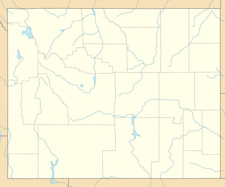
County Lincoln | Elevation 1,930 m | |
 | ||
Weather 3°C, Wind NW at 16 km/h, 79% Humidity | ||
Sage is a ghost town in the far southwestern part of Lincoln County, Wyoming. US Route 30 is the major road, which leads north 19 miles (31 km) to Cokeville and east 25 miles (40 km) to Kemmerer. Wyoming Highway 89 runs west 4 miles (6.4 km) to the Utah border, then another 5 miles (8.0 km) to Sage Creek Junction, Utah. The Union Pacific Railroad passes Sage in the direction of Rock Springs to the east and Pocatello, Idaho, to the west.
Sage lies at 6,332 feet (1,930 m) elevation, just west over the Sublette Mountains ridge from Fossil Butte National Monument in the Sage Creek valley.
The Overland Stage Route came north to Sage from Fort Bridger.
References
Sage, Wyoming Wikipedia(Text) CC BY-SA