
Population 2,392. 2011 Census Civil parish Linchmere Area 9.03 km² Dialling code 01428 | OS grid reference SU869308 Sovereign state United Kingdom Local time Saturday 1:27 AM UK parliament constituency Chichester | |
 | ||
Weather 9°C, Wind W at 31 km/h, 89% Humidity | ||
Linchmere, also often spelled Lynchmere, is a village and a civil parish, the northernmost parish in the Chichester district of West Sussex, England. As well as Linchmere village, the parish contains the settlements of Hammer and Camelsdale.
Contents
Map of Linchmere, Haslemere, UK
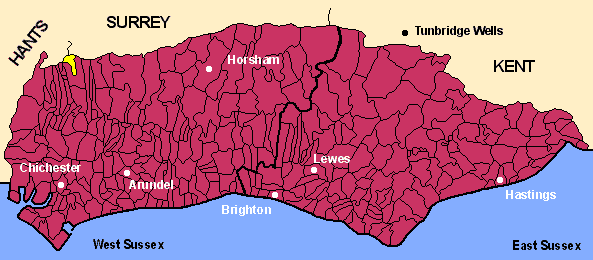
Linchmere parish is bordered to the north by Haslemere in Surrey with a tributary of the River Wey as boundary, to the east by Fernhurst parish, to the south by Linch civil parish with the Shulbrede stream as boundary, and to the west by the civil parish of Bramshott in Hampshire.
In the 2001 census there were in the civil parish 836 households, with a total population of 2,225 of whom 1,127 were economically active. The population at the 2011 Census was 2,392.
Richard Dimbleby is buried in St Peter's churchyard.
History
The name Linchmere was, in ancient times, spelled Wlenchemere.
The area includes the remains of an Augustinian priory founded in 1200 and at first known as Woolynchmere Priory. Its later name, Shulbrede Priory, is now attached to the priory remains (located 1.4 kilometres (0.87 mi) southwards from Linchmere village centre), to an associated manor house, and to the peerage of Baron Ponsonby of Shulbrede.
The settlement at Hammer took its name from an iron mill which was active there from before 1573 until at least 1730. There were also other iron works in the district including one partly in what is now Fernhurst parish, in Furnace Wood near Lower Lodge Farm, apparently started a little before 1620. The associated water supply is still named Furnace Pond and is just 2.8 kilometres (1.7 mi) south of Linchmere village centre.