
Population 212 (2001) Post town FALKIRK Local time Friday 10:53 PM | OS grid reference NS856708 Sovereign state United Kingdom Postcode district FK1 Dialling code 01324 | |
 | ||
Weather 8°C, Wind W at 29 km/h, 90% Humidity | ||
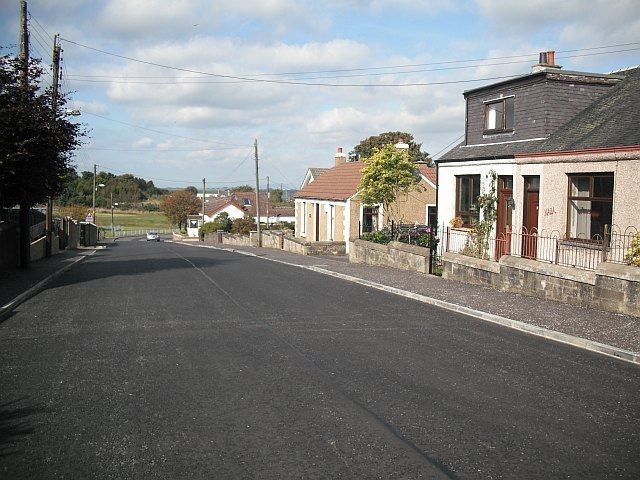
Limerigg is a village in the Falkirk council area of Scotland. It lies on the B825 road between Slamannan and Caldercruix surrounded by extensive woodlands on the northern side and lying next to the Black Loch, which formerly fed the Monkland Canal, and close to the former boundary between Stirlingshire and Lanarkshire.
Map of Limerigg, Falkirk, UK
The remaining coal pits closed after the Second World War and the energetic Church of Scotland minister, the Rev Alexander Cameron, used his influence as the local councilor to encourage the Forestry Commission to cover the whole high-moorland area in trees. He was also responsible for demolishing the last of the old miners’ rows and the building of some fifty council houses. A keen sportsman he was one of the founders, in 1950, of the first water-ski club in Scotland with excellent facilities on the Black Loch. In 2010 a 4000-year-old Bronze Age barb and tang flint arrowhead was found on the peat moss on the western outskirts of the village. This is now housed in the national museum of Scotland in Edinburgh.
Limerigg is known locally as the Capital of the Braes.
The United Kingdom Census 2001 recorded the population as 212, a fall of roughly 10% since 1991.