
Population 365 (2001) Civil parish Lilliesleaf Sovereign state United Kingdom Dialling code 01835 | OS grid reference NT535252 Post town MELROSE | |
 | ||
Lieutenancy areas Scottish Borders, Roxburgh, Ettrick and Lauderdale | ||
Lilliesleaf is a small village and civil parish 7 miles (11 km) south east of Selkirk in the Roxburghshire area of Scottish Borders of Scotland.
Map of Lilliesleaf, Melrose, UK
To the north of Lilliesleaf is the Ale Water which runs east to west. The wetland named "The Moss" is to the south of Lilliesleaf.
Other places nearby include Ancrum, Ashkirk, Belses, Hassendean, Midlem, Minto House, Old Belses, St Boswells, and Woll.
The village's current population is around 301.
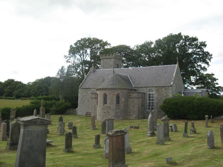
Lilliesleaf currently has two pubs, the Cross Keys and the Plough. There is also a cafe named "The Jammy Coo" which sells food, drinks, paintings and jewellery. Lilliesleaf has a primary school and one church in current use. There is no regular public transport in Lilliesleaf. It has no shops, but used to have a hardware shop, post office and a grocer, all of which closed down in the 1990s.