
District Wiener Neustadt-Land Vehicle registration WB Area 22.87 km² Local time Friday 7:19 AM Area code 02622 | Time zone CET (UTC+1) Elevation 254 m Population 2,994 (1 Apr 2009) Postal code 2493 | |
 | ||
Website www.lichtenwoerth.at or www.nadelburg.at Weather 2°C, Wind W at 3 km/h, 73% Humidity | ||
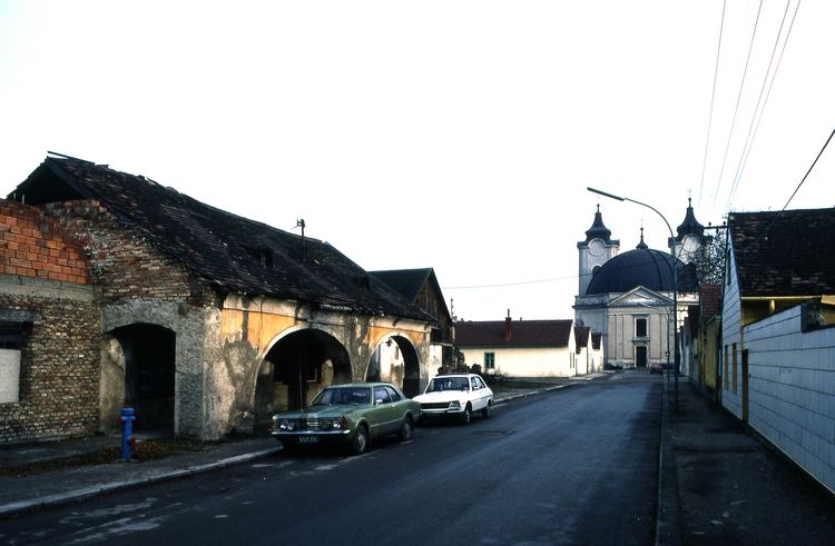
Lichtenwörth is a market town in Austria. It is situated by the rivers Leitha and Warme Fischa. The market town has a kindergarten school, an elementary school and a high school. It also has a music school.
Contents
Map of Lichtenw%C3%B6rth, Austria
History
The place was first mentioned in 1174. Also in the 12th century, a water castle was built, that was destroyed at the end of the 15th century.
In 1747, under the regency of Maria Theresa, the needle factory Nadelburg was established. The factory was expanded with a cotton mill in the early 19th century. A workers' settlement grew around the factories. The Nadelburg was closed in 1930. It is now a museum.
Lichtenwörth became a market town in 1992.
Lichtenworth is also very much remembered for its concentration slave labor camp during the Third Reich. It was a sub-camp of Mauthausen. Mainly Jewish women were force marched from Budapest. The conditions were brutal and many died there.
citation: Magyar deportaltak az annektalt Ausztriaban : 1944-1945 Author Szabolcs Szita (1945 - ), György Konrad (1933 - ) http://www.wienerlibrary.co.uk/?location_id=51&adlibmultifilter[fields][keyword]=1&adlibmultifilter[term]=Lichtenw%C3%B6rth%20%28slave%20labour%20camp%20for%20Hungarian%20Jews%20in%20Austria%29
http://db.yadvashem.org/library/pdf/library_keywords_en.pdf
Politics
The council of Lichtenwörth consists of 21 members, grouped in 4 parties (2010 elections).