Population Uninhabited | ||
 | ||
Liberty Rocks is a group of four prominent adjacent rocks lying at the north entrance to Nelson Strait in the South Shetland Islands, Antarctica and extending 430 by 120 m (470 by 131 yd). The area was visited by early 19th-century sealers.
Contents
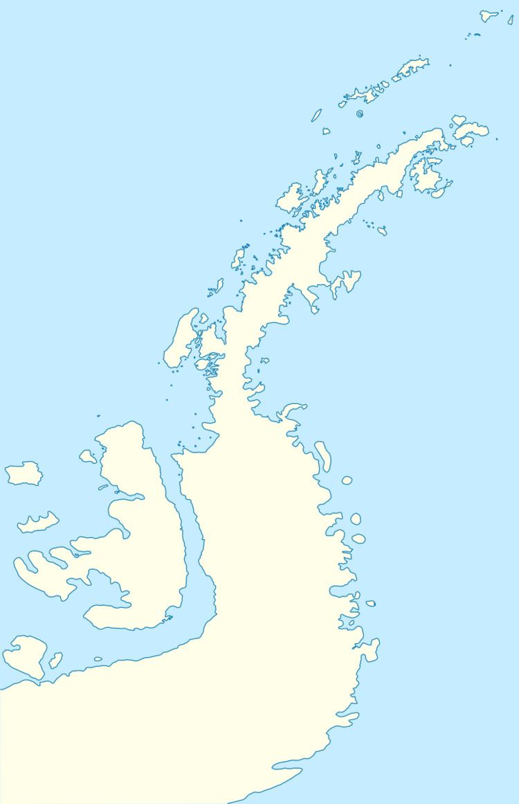
Map of Liberty Rocks, Antarctica
The feature is named after the British sealing vessel Liberty under Captain Peacock that visited the South Shetlands in 1821–22.
Location
The rocks are centred at 62°18′50.6″S 59°27′44.2″W which is 3.95 km (2.45 mi) northeast of Newell Point, Robert Island, 1.65 km (1.03 mi) southeast of Mellona Rocks, 11.38 km (7.07 mi) west by south of Harmony Point, Nelson Island and 6 km (3.73 mi) northwest of Makresh Rocks (British mapping in 1822, 1962 and 1968, Chilean in 1971, Argentine in 1980, and Bulgarian in 2009).
Maps
References
Liberty Rocks Wikipedia(Text) CC BY-SA
