
 | ||
The Liberty Heights neighborhood comprises smaller Springfield, Massachusetts neighborhoods including Hungry Hill, Lower Liberty Heights, and Atwater Park and is located in the northwest quadrant of the city, beginning about one mile north of Springfield's Metro Center. It contains 1,384 acres, plus rights of way, and is the fifth largest of Springfield's seventeen neighborhoods. Its principal boundaries are Chicopee to the north; the Boston & Albany Railroad to the south; St. James Avenue to the east; and portions of Chestnut Street, Cass Street, and Jardine Street to the west.
Map of Liberty Heights, Springfield, MA 01104, USA
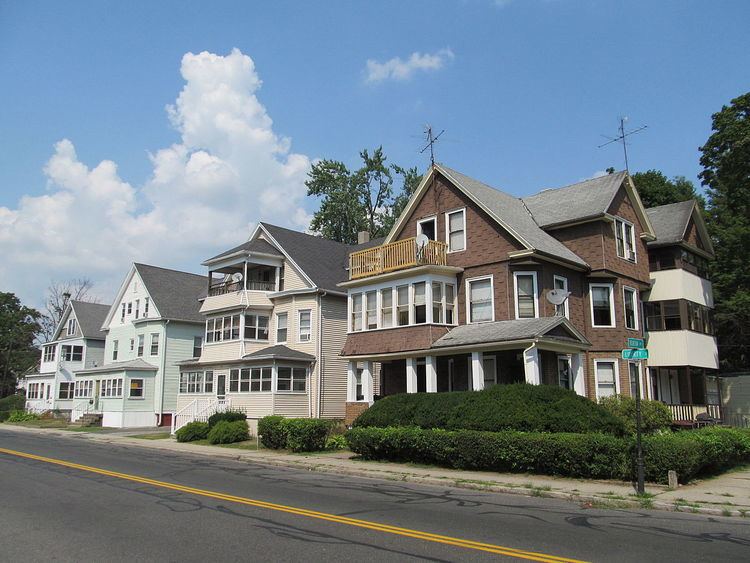
Located along Springfield's northern border, with easy access to I-291 and the Mass Turnpike (I-90) Liberty Heights is a residential neighborhoods full of a variety of 20th century housing types, such as: Craftsman, Colonial Revival, Tudor Revival, Capes, and Ranches. Liberty Heights has a branch library that offers a wide variety of family activities.
Liberty Heights is home to Van Horn Park, one of the city's largest public parks, the Liberty Plaza shopping center, and some of the city's largest employers, such as Baystate Medical Center and Smith & Wesson. The Liberty Heights neighborhoods are also close to Elms College in Chicopee.
In addition to the public and parochial schools in these neighborhoods, the private Academy Hill School serves academically talented children in grades K-8 from Western Mass and Northern Connecticut.