
Website www.lsz.gov.cn Local time Friday 5:26 AM | Time zone China Standard (UTC+8) Area 60,423 km² Population 4.533 million (2009) | |
 | ||
Country People's Republic of China Weather 12°C, Wind S at 5 km/h, 46% Humidity Points of interest Lugu Lake, China Xichang Satellite L, Liangshan Minority Custom G, Qionghai Lushan National, Luguhu Scenery Spot | ||
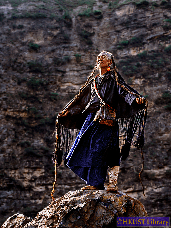
Liangshan (Chinese: 凉山; Yi: ꆃꎭ Niep Sha, pronounced [nɛ̀ʂā]), officially the Liangshan Yi Autonomous Prefecture, is an autonomous prefecture occupying much of the southern extremity of Sichuan province, People's Republic of China; its seat is Xichang. Liangshan has an area of 60,423 km2 (23,329 sq mi) and over 4.5 million inhabitants (2010). It is also has the largest population of ethnic Yi nationally. Liangshan Li contains a number of isolated villages high up on its cliffs, often known as "cliff villages".
Contents
Map of Liangshan, Sichuan, China
Yi people came into Chinese and western history books as "罗罗" (Lolo) and "夷" (Yi) in the beginning. After the Chinese Communist Party came into power in mainland China, the government changed the spelling of the name from "夷" to "彝" since the old character was derogatory.
The appellations of Lolo, Lolopu, etc. are related to the Yi people’s worship of the tiger, as lo in their dialects means "tiger". Lo is also the basis for the Chinese exonym Luóluó 猓猓, 倮倮, or 罗罗. The original character, 猓, with the "dog radical" 犭and a guǒ 果 phonetic, was considered condescending, comparable to the Chinese name guǒran 猓然 "a long-tailed ape".
Writing reform in the People’s Republic of China replaced the 猓 character in Luóluó twice: first by Luó 倮, with the "human radical" 亻and the same phonetic, but that was a graphic variant for luǒ 裸 "naked"; and later by Luó 罗 "net for catching birds". However, the stigma remained and resulted in negative remarks when people of the prefecture visited other cities, so the government changed the name of the prefecture.
Xichang has the Xichang Qingshan Airport and the Xichang Satellite Launch Center. The prefecture also features a substantial network of railways for both passengers and freight.
Terrain and climate
The Anning River, which runs into the Jinsha River (Yangtze River headwaters), is the main river in the area.
Owing to its low latitude and high elevation, Liangshan has a mild climate. Under the Köppen system, the prefecture belongs to the humid subtropical zone (Köppen Cwa). Winters feature mild days and cool nights, while summers are very warm and humid. Monthly daily mean temperatures range from 9.6 °C (49.3 °F) in January to 22.3 °C (72.1 °F) in July. Unlike much of the province, which lies in the Sichuan Basin, humidity levels in winter are rather low, but like the rest of the province, rainfall is concentrated in the months of June through September, and the prefecture is virtually rainless in winter.
Cliff villages
Also see Zhaojue County
Due to the mountainous terrain, many villages that lie among the mountain cliffs of Liangshan Yi are isolated from the rest of Sichuan. They are called cliff villages as they tend to be isolated and lie at vertical heights of about 800 metres. Access to these cliff villages tends to be through vines of trees along the cliffs and steep ladders made of ropes. In 2016, the state run Beijing News reported one such village called Atule'er (阿土列尔村) where children climbed up a rope ladder for two hours to reach their home from school, often leading to falls and deaths. The Mail Online dubbed it "The world's most dangerous school run". In light of this, the local government constructed a special steel ladder (dubbed "Stairway to heaven") in November 2016 for people to climb up and down in a safer manner.
The Atule'er village is home to 72 families. Access from the outside world to Atule'er is through 17 vertical vine ladders.
Subdivisions
Liangshan directly controls one county-level city, 15 counties, and 1 autonomous county.